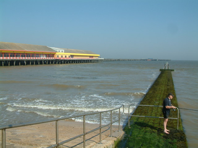
Walton on the Naze Crag Walk
![]()
![]() This walk visits the new Crag Walk coastal defence system in Walton on the Naze before heading along the seafront in the Essex town.
This walk visits the new Crag Walk coastal defence system in Walton on the Naze before heading along the seafront in the Essex town.
The walk starts from the Naze Tower car park at the northern end of the town. The 18th century Hanoverian tower is situated at the start of the open area of the Naze. This attractive coastal headland is a great place for spotting migrating birds. You can enjoy a stroll around the reserve and climb to the top of the tower for great views over the area.
From the car park it's a short stroll down to the crag walk where the coastal defences have been put in place to protect against the cliff erosion in the area. After exploring the cliffs and the nature reserve you can then head south along the prom. There's a nice path along the beach which will take you to the pier, passing lots of little beach huts on the way. You could also take a detour from the front and visit Walton Mere where there's a nice lakeside footpath to try.
You can extend your walking in the town by following the trails around Hamford Water. The reserve is an internationally important site for migrating birds and includes the famous fifty million year old cliffs made up of London clay. You may also see Common and Grey Seals in the area too.
There's also the Frinton to Walton Walk which will take you to the nearby Frinton-on-Sea along the prom.


