Wigton Walks
![]()
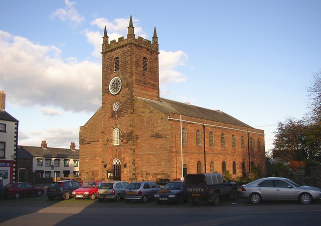
![]() This Cumbrian based market town is located on the edge of the Lake District in Allerdale.
This Cumbrian based market town is located on the edge of the Lake District in Allerdale.
It's an attractive and historic place, located on the River Wampool and Wiza Beck. There's lots of old buildings, a vibrant range of shops and several friendly local pubs for refreshments after your exercise.
The Solway Coast AONB lies just to the north west of the town. There's some lovely walks here with several long distance trails to pick up in the area. These include the Allerdale Ramble, the Cumbria Coastal Way and Hadrian's Wall Path.
To the north is the city of Carlisle where you can explore the grounds of the historic castle and enjoy waterside walks along the River Eden.
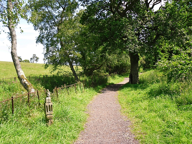
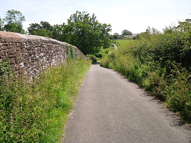
This little circular walk in the town takes you along the Speet Gill and Kirkland Lane where there's some nice countryside views.
See the list below for other walks near and around Wigton.
Postcode
CA7 9NP - Please note: Postcode may be approximate for some rural locationsWigton Ordnance Survey Map  - view and print off detailed OS map
Wigton Open Street Map  - view and print off detailed map
Wigton OS Map  - Mobile GPS OS Map with Location tracking
Wigton Open Street Map  - Mobile GPS Map with Location tracking
Walks near Wigton
- Carlisle - This circular walk visits the Cumbrian city of Carlisle, exploring the castle grounds before picking up riverisde footpaths on either side of the River Eden
- Watchtree Nature Reserve - This super Nature Reserve near Carlisle has a series of cycling and walking trails to try.
- Talkin Tarn Country Park - Explore this 165 acre country park in Brampton, and enjoy the large glacial tarn, mature woodland and gentle meadows with the stunning Pennine Hills as a backdrop
- Brampton - The small market town of Brampton is located in the Carlisle district of Cumbria
- Wetheral - This historic Cumbrian village near Carlisle has some lovely riverside trails, peaceful local woods and the remains of ancient priory to see.
- Wreay Woods - This walk visits the pretty Wreay Woods near Carlisle in Cumbria
- Gelt Woods - Follow the River Gelt through Gelt Woods Nature Reserve, on this delightful walk near Brampton, Cumbria
- Miltonrigg Woods - These delightful woods near Brampton are a lovely place for an afternoon stroll.
- Lanercost Priory - This walk visits the historic Lanercost Priory in Cumbria
- Cumbria Coastal Way - Explore the wonderful coastline of Cumbria on this splendid long distance path
- Allerdale Ramble - Explore the stunning scenery of the Lake District on this wonderful trail.
The trail begins at Seathwaite at the foot of the stunning Great Gable mountain - Solway Coast - This long walk makes use of the Cumbria Coastal Way and the Hadrian's Wall Path to explore the Solway Coast AONB.
- Hadrian's Wall Path - Starting in Wallsend near the east coast of England, head across the country to Bowness-on-Solway along this wonderful trail that follows the famous Roman wall
- Silloth - This Cumbrian port town is located in a lovely spot on the Solway Firth, close to the Lake District hills
- Cumbria Way - Travel through the beautiful Lake District National Park on this stunning walk
Pubs/Cafes
Hare & Hounds - Friendly local pub with a cosy fire and good real ale. Located on West Street at postcode CA7 9NP for sat navs. Lion - Provides Accommodation. Located at 29 High St, Wigton CA7 9NJ
Further Information and Other Local Ideas
A few miles to the east there's Wreay Woods to explore. Here you can enjoy waterside trails along the River Petteril, peaceful woodland footpaths, countryside views, bridges over the river and old mills.
Also to the east you can pick up the Cumbria Way and follow the River Calder north towards Carlisle.
Photos
The Monument. Wigton was originally a wool trading town, but now its major employer is Innovia films. In the market place is an elaborate 19th Century fountain erected in 1872 by George Moore of Whitehall in Mealsgate, in memory of his wife. It is built of granite, and features four fine bronze reliefs of the Acts of Mercy by the Pre-Raphaelite sculptor Thomas Woolner. On the north side (opposite the Kings Arms) is 'Visiting the Afflicted', the east illustrates 'Clothing the Naked', the south has 'Instructing the Ignorant', and the west side has 'Feeding the Hungry'. Above each bronze is a small granite carving of the face of Mrs Moore, surrounded by leaves.


