Woolbeding Common Walks with OS Map
![]()
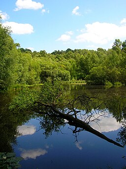
![]() Explore woodland, heathland and ponds on this walk on Woolbeding Common near Chichester in West Sussex. The area is managed by the National Trust so there are good footpaths and a car park off Older Hill Lane. There's miles of good tracks to follow with the area also including Oakham Common, Pound Common, Stedham Marsh and the hamlet of Titty Hill.
Explore woodland, heathland and ponds on this walk on Woolbeding Common near Chichester in West Sussex. The area is managed by the National Trust so there are good footpaths and a car park off Older Hill Lane. There's miles of good tracks to follow with the area also including Oakham Common, Pound Common, Stedham Marsh and the hamlet of Titty Hill.
If you follow the trails south from the common you will soon come to the beautiful River Rother Valley. Here you can enjoy a stroll along the river and visit Iping Common and Stedham Common.
Two long distance footpaths also pass through the common. You can pick up either the Serpent Trail or the New Lipchis Way to extend your walk.
Heading north will take you towards Older Hill, Stanley Common and Liphook.
Woolbeding Common is located a few miles north west of Midhurst where you can pick up the Midhurst Way.
Postcode
GU29 9RR - Please note: Postcode may be approximate for some rural locationsWoolbeding Common Ordnance Survey Map  - view and print off detailed OS map
Woolbeding Common Open Street Map  - view and print off detailed map
*New* - Walks and Cycle Routes Near Me Map - Waymarked Routes and Mountain Bike Trails>>
Woolbeding Common OS Map  - Mobile GPS OS Map with Location tracking
Woolbeding Common Open Street Map  - Mobile GPS Map with Location tracking
Explore the Area with Google Street View 
Further Information and Other Local Ideas
Head into Midhurst and you can pick up the Midhurst Way and visit the splendid Cowdray Park. There's the ruins of a an old castle here with a fascinating history attached to it. The old town part of Midhurst is also well worth exploring with some fine medieval architecture to see.
For more walking ideas in the area see the Sussex Walks and South Downs Walks pages.
Cycle Routes and Walking Routes Nearby
Photos
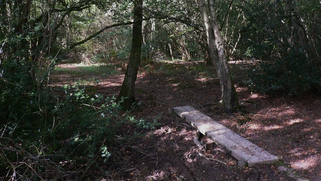
Woolbeding Common. Another parcel of common land next to Stedham Marsh, this time looking back along a footpath that heads towards Linch Road.
Single track unnamed lane cutting through the common and going to Older Hill only. Taken from the point where the footpath from Little Common to Linch Road crosses it.


