Wykeham Forest
![]()
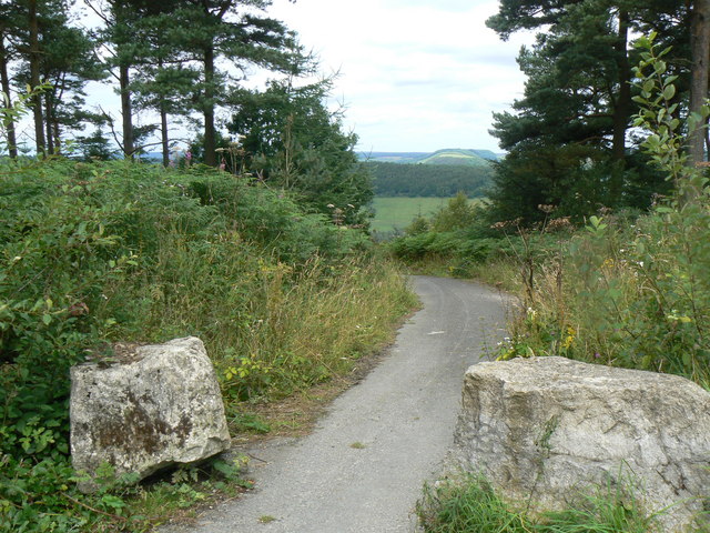
![]() This large forest in the North York Moors has miles of walking trails and a mountain bike trail.
This large forest in the North York Moors has miles of walking trails and a mountain bike trail.
Cyclists can also follow the many country lanes that run through the woods. The woods consist mainly of pine trees with some great viewpoints to visit. The Raptor viewpoint overlooks Troutsdale and is a popular spot for birdwatchers looking for birds of prey such as Buzzards and Crossbills. From the High Wood Brow viewpoint there are great views over the River Derwent Valley.
The forest is located just to the east of the expansive Dalby Forest. It's a great place to extend your outing with miles of cycling and walking trails to follow. Also nearby is the splendid Bridestones nature reserve with its fascinating sandstone sculptures and variety of interesting flora fauna. You could follow the long distance Tabular Hills Walk to both of these sites. The waymarked 48 mile trail takes you across the southern boundary of the North York Moors National Park from Scarborough to Helmsley.
Postcode
YO13 9EB - Please note: Postcode may be approximate for some rural locationsWykeham Forest Ordnance Survey Map  - view and print off detailed OS map
Wykeham Forest Open Street Map  - view and print off detailed map
Wykeham Forest OS Map  - Mobile GPS OS Map with Location tracking
Wykeham Forest Open Street Map  - Mobile GPS Map with Location tracking
Explore the Area with Google Street View 
Pubs/Cafes
The Everley Country House Café is located on the eastern edge of the forest in Hackness. The main draw here is a lovely outdoor seating area with fine views over the valley. Inside there's a cosy log fire and board games to keep you entertained. You can find the cafe at a postcode of YO13 0BT for your sat navs.
The Downe Arms Hotel is also nearby. The country inn is housed in a converted 17th-century farmhouse and located in fine position in the village opposite the church. They do great food and have a nice sunny beer garden with more great views of the North York Moors. You can find it on the main road in Wykeham village at postcode of YO13 9QB.
Dog Walking
The woodland trails are ideal for dog walking so you'll probably see plenty of other owners on a fine day. The Downe Arms Hotel mentioned above is also dog friendly.
Further Information and Other Local Ideas
The circular Hackness Walk visits the forest from the nearby village. You can follow a pleasant riverside path along the River Derwent from the settlement to the forest.
To the north is the expansive Broxa Forest where there are more fine cycling and walking trails.
Head south east and you can explore Forge Valley Woods. This nature reserve has a nice boardwalk trail along the River Derwent. The woods can be reached on the circular West Ayton Walk which starts from the delightful village.
Head east along the Tabular Hills Walk and it will take you to Raincliffe Woods and the Scarborough Sea Cut and Scalby Beck Walk. Here you can enjoy a waterside walk along the pretty river and explore another area of local woodland.
For more walking ideas in the area see the North York Moors Walks page.


