Wyrley and Essington Canal
![]()
![]() This walk takes you along the Wyrley and Essington Canal from Wolverhampton to the Rushall Canal in Walsall.
This walk takes you along the Wyrley and Essington Canal from Wolverhampton to the Rushall Canal in Walsall.
The flat canalside trail is a great way of visiting some of the parks, nature reserves and historical sites of this area of the West Midlands. The canal is also known as the "Curly Wyrley" because of the way it twists and turns through the towns and cities.
The walk starts in the centre of Wolverhampton, close to the train station. Follow the trail north east to Wednesfield and Rough Wood Country Park where you can explore the largest oak woodland in Walsall.
You then head through Bloxwich, Harden, Pelsall Common, Clayhanger and Aldridge before finishing at the Rushall Canal. Here you could extend the walk by visiting Park Lime Pits which lies just to the west of the canal.
Wyrley and Essington Canal Ordnance Survey Map  - view and print off detailed OS map
Wyrley and Essington Canal Open Street Map  - view and print off detailed map
Wyrley and Essington Canal OS Map  - Mobile GPS OS Map with Location tracking
Wyrley and Essington Canal Open Street Map  - Mobile GPS Map with Location tracking
Cycle Routes and Walking Routes Nearby
Photos
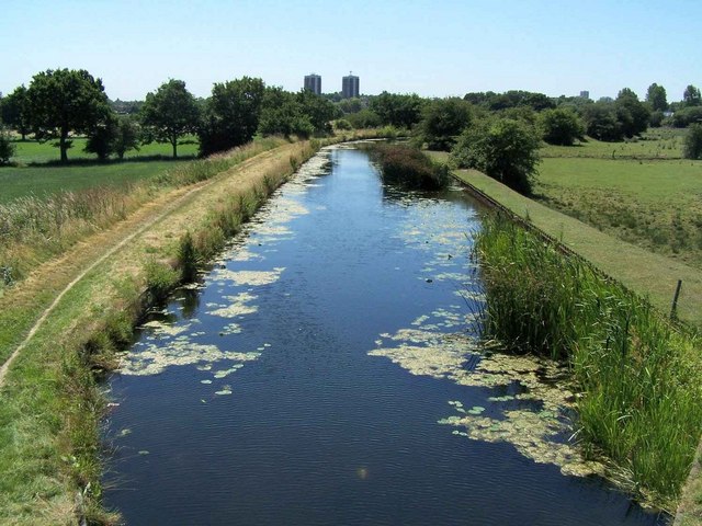
Wyrley and Essington Canal. Alongside Hawbush Road. The Curly Wyrley wanders around following the contours avoiding the need for locks.
Trapmakers Bridge - Wyrley & Essington Canal. The new footbridge awaits its official opening next week. The £2M scheme is intended to link the King George V Park to the village centre and replaces the former Barn Bridge demolished in the late 1950s. 914852 shows the site in 2006. This looks to be another example of an expensive 'landmark' structure. The ramp only gives access to a muddy towpath requiring a walk up to the next bridge to meet the High Street or behind the library. The concrete block under the column on the far bank did not appear on the artist's impression but appears to have been a compromise during construction. The relatively isolated location of the structure will make the bridge prone to vandalism and graffiti. This was already apparent even before its opening.


