Cotswold Water Park Cycling and Walks
![]()
![]() This fabulous attraction has numerous waterside cycling and walking paths taking you around the park's 150 lakes. There are 40 square miles to explore within the water park but with the Thames Path National Trail and National Cycle Route 45 running through the park there is great scope for continuing your exercise along these trails (bike hire is available in the park). There is a wide variety of wildlife to see too - look out for otters, water voles and beavers.
This fabulous attraction has numerous waterside cycling and walking paths taking you around the park's 150 lakes. There are 40 square miles to explore within the water park but with the Thames Path National Trail and National Cycle Route 45 running through the park there is great scope for continuing your exercise along these trails (bike hire is available in the park). There is a wide variety of wildlife to see too - look out for otters, water voles and beavers.
The western section of the park shown in the map is located between Swindon and Cirencester. There is also an eastern section located near Fairford and Lechlade. Our Fairford Walk starts from the town and explores that section of the park before heading to Lechlade for a stroll along the Thames.
To extend your walking in the area you can try the Cricklade Circular Walk and explore the area around the pretty town.
If you follow the Thames Path in a north westerly direction it will take you to the Source of the Thames near Kemble.
Please click here for more information
Cotswold Water Park Ordnance Survey Map  - view and print off detailed OS map
Cotswold Water Park Open Street Map  - view and print off detailed map
Cotswold Water Park OS Map  - Mobile GPS OS Map with Location tracking
Cotswold Water Park Open Street Map  - Mobile GPS Map with Location tracking
Pubs/Cafes
The route passes through the little village of South Cerney where there's a few nice pubs for refreshments on the walk. You could head to the historic Old George Inn which is set in a 17th century coaching inn. They do good food and also have a nice gardena area for the summer months. You can find the pub at Clarks Hay with a postcode of GL7 5UA for your sat navs.
The Royal Oak is another good option with another good menu and a large garden area. You can find it on the High Street at postcode GL7 5UP. The pub is also dog friendly if you have your four legged friend with you.
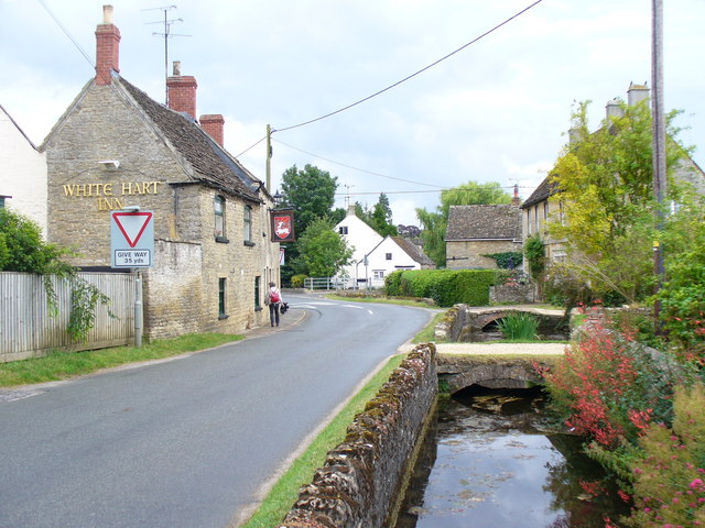
It's also nice to stroll around the pretty village where there are picturesque views of the River Churn and an old vicarage with a gazebo.


