Glasgow to Edinburgh
![]()
![]() This is the complete route from Glasgow to Edinburgh along the Forth and Clyde Canal and the Union Canal. The route follows National Cycle Network Routes 7, 75 and 754 so is well signed throughout. It follows the towpath of these two major canals and is traffic free for the duration so it is also suitable for walkers. The route runs for a distance of about 66 miles so it is possible to complete it in one day if you have a good level of fitness.
This is the complete route from Glasgow to Edinburgh along the Forth and Clyde Canal and the Union Canal. The route follows National Cycle Network Routes 7, 75 and 754 so is well signed throughout. It follows the towpath of these two major canals and is traffic free for the duration so it is also suitable for walkers. The route runs for a distance of about 66 miles so it is possible to complete it in one day if you have a good level of fitness.
You start at the Bowling Basin and head through Clydebank, Kirkintilloch, Falkirk and Linlithgow to the finish point in the centre of Edinburgh.
There's beautiful countryside, nature reserves, country parks, rivers and spectacular aqueducts to enjoy as you make your way across central Scotland. Route highlights include the four-arched 120 metre long Kelvin Aqueduct and the Kelvin Walkway in Glasgow.
On the outskirts of Falkirk you'll come to the famous Falkirk Wheel. The rotating boat lift connects the Forth and Clyde Canal with the Union Canal lifting boats from the basin to the aqueduct 24 metres above. In Linlithgow you'll pass the splendid Beecraigs Country Park which has miles of woodland cycling and walking trails.
Glasgow to Edinburgh Ordnance Survey Map  - view and print off detailed OS map
Glasgow to Edinburgh Open Street Map  - view and print off detailed map
Glasgow to Edinburgh OS Map  - Mobile GPS OS Map with Location tracking
Glasgow to Edinburgh Open Street Map  - Mobile GPS Map with Location tracking
Further Information and Other Local Ideas
Just south of Falkirk there's the lovely Callendar Park. The 14th century French chateau styled house is surrounded by lovely parkland and woodland with a fascinating museum and a Roman Antonine Wall to see.
Cycle Routes and Walking Routes Nearby
Photos
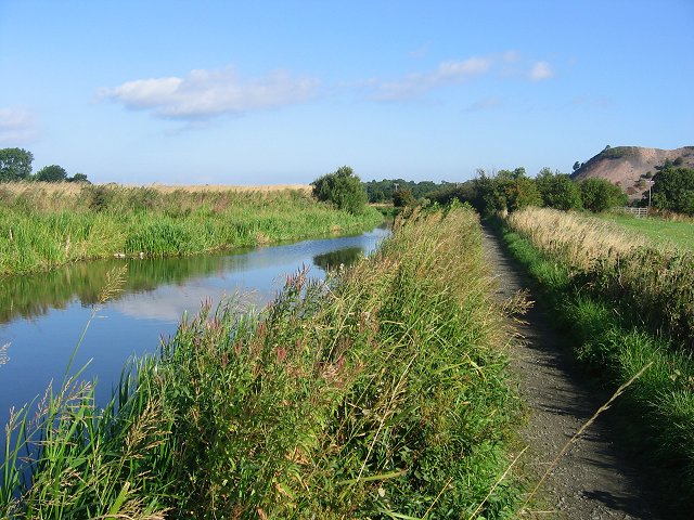
Union Canal, Craigton. The canal, always faithful to its contour (no locks) winds along through West Lothian. Here for a while its route is shared with the M9 and Glasgow to Edinburgh railway. View westward, showing some arable land which along with woods make up this square.
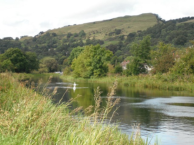
First and last basin, Union Canal. The basin above the Falkirk Wheel, with a view of the plain by the Forth and Ochil Hills.
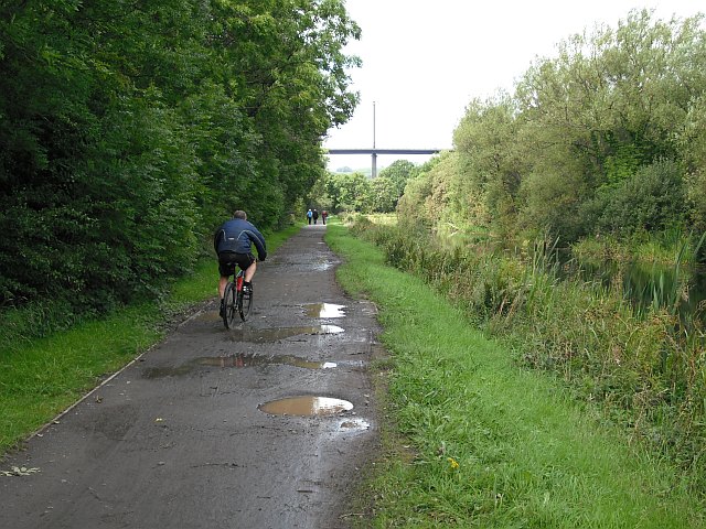
Almondell. The cycle route (NCN75) runs towards Camps Viaduct between the Union Canal feeder and the River Almond.
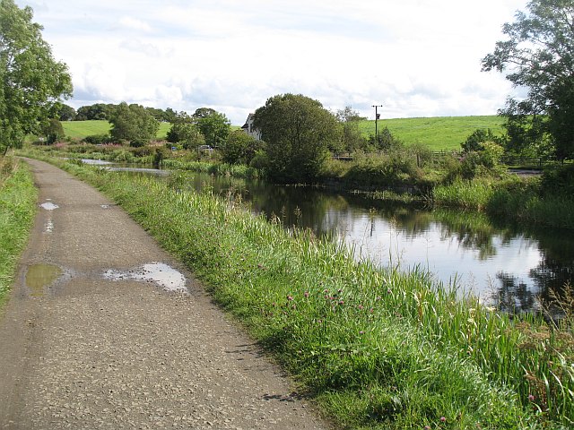
Forth and Clyde Canal. The notes for this square point out that this has some of the densest concentration of transport infrastructure in Britain, so it is a bit of surprise to find such a tranquil looking rural scene.


