Great Central Walk Rugby
![]()
![]() This walk takes you along the Great Central Walk in the Warwickshire town of Rugby. The dismantled railway line is now a nature reserve which is open to walkers and cyclists. The trail can be picked up just to the south of Rugby train station and followed for just over 3 miles to Onley Lane. Here you leave the trail to follow the country lane down to the Oxford Canal at the southern end. The area is good for wildlife spotting with a variety of butterflies and birds to see along the path.
This walk takes you along the Great Central Walk in the Warwickshire town of Rugby. The dismantled railway line is now a nature reserve which is open to walkers and cyclists. The trail can be picked up just to the south of Rugby train station and followed for just over 3 miles to Onley Lane. Here you leave the trail to follow the country lane down to the Oxford Canal at the southern end. The area is good for wildlife spotting with a variety of butterflies and birds to see along the path.
At the end of the route you can extend your walk by picking up the towpath of the canal and following it north to take you back to Rugby. See our Circular Walk Around Rugby for more details. If you head south it along the canal it will take you into Braunston.
Just to the west of the walk you will find the lovely Draycote Water where there's a nice waterside footpath to follow around the lake.
Great Central Walk Rugby Ordnance Survey Map  - view and print off detailed OS map
Great Central Walk Rugby Open Street Map  - view and print off detailed map
Great Central Walk Rugby OS Map  - Mobile GPS OS Map with Location tracking
Great Central Walk Rugby Open Street Map  - Mobile GPS Map with Location tracking
Cycle Routes and Walking Routes Nearby
Photos
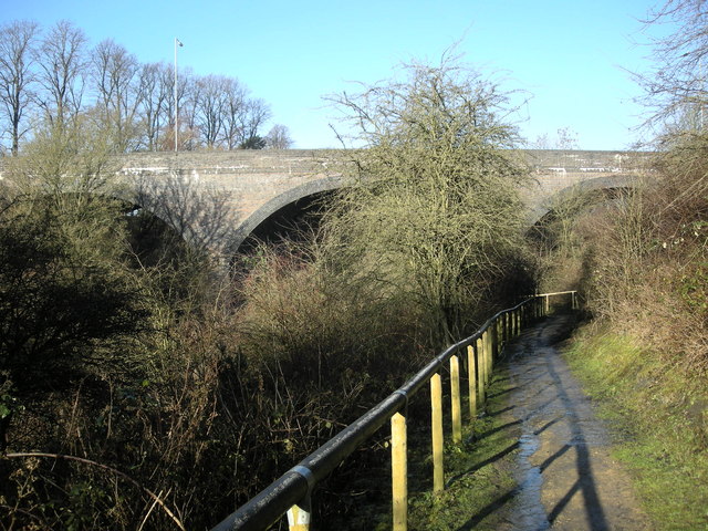
The dismantled bridge for the Great Central Railway over the road to Lower Rainsbrook Farm from Onley Lane.


