Standen House Walks
![]()
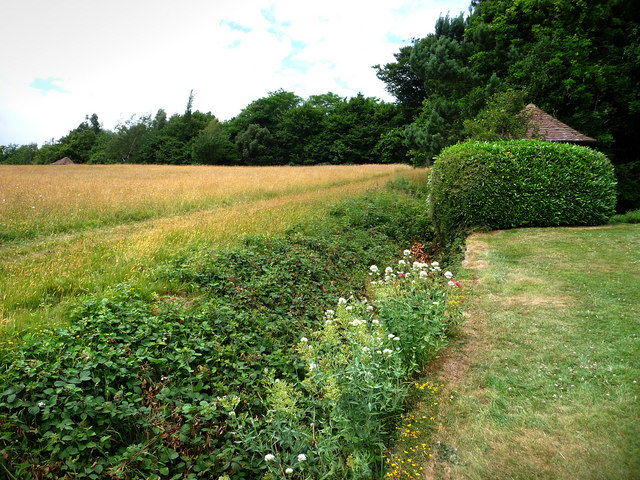
![]() Explore the gardens, parkland and woodland surrounding this 19th century National Trust house near East Grinstead. The Standen Estate covers 100 acres with good footpaths taking you around the grounds and into the adjacent Rockingshill Wood. In the woods you'll find a number of ponds and pretty bluebells in the spring. There's a beautiful hillside garden and a kitchen garden. Flora includes rhododendrons, camellias, azaleas and herbaceous borders. There's also nice views across the Sussex countryside and the Philip Webb designed house which has a superb collection of Arts and Crafts interiors, with Morris & Co designs.
Explore the gardens, parkland and woodland surrounding this 19th century National Trust house near East Grinstead. The Standen Estate covers 100 acres with good footpaths taking you around the grounds and into the adjacent Rockingshill Wood. In the woods you'll find a number of ponds and pretty bluebells in the spring. There's a beautiful hillside garden and a kitchen garden. Flora includes rhododendrons, camellias, azaleas and herbaceous borders. There's also nice views across the Sussex countryside and the Philip Webb designed house which has a superb collection of Arts and Crafts interiors, with Morris & Co designs.
The High Weald Landscape Trail passes the estate so you can pick this up to extend your walk. If you head south you'll soon come to Weir Wood Reservoir. There's a splendid footpath running around the perimeter of the reservoir with great views across the water and a nature reserve at the western end.
If you head west along the High Weald Landscape Trail you can explore Minepit Wood with its nice woodland trails and pretty lake.
If you head east you can pick up the Forest Way.
The cycling and walking route runs from East Grinstead to Groombridge along a disused railway line.
Postcode
RH19 4NE - Please note: Postcode may be approximate for some rural locationsPlease click here for more information


