Ashurst Wood Walks
![]()
![]() This Sussex based village has some nice trails through the surrounding woodland and countryside of the High Weald AONB.
This Sussex based village has some nice trails through the surrounding woodland and countryside of the High Weald AONB.
This circular walk from the village visits the neighbouring village of Forest Row before heading to the nearby Weir Wood Reservoir.
The walk starts in the village and heads east to Ashurstwood Abbey before picking up the High Weald Landscape Trail on Cansiron Lane. Follow the waymarked footpath south and it will take you into Forest Row. The village is on the edge of the expansive Ashdown Forest where you can explore the area made famous in the Winnie the Pooh books by A.A Milne.
After exploring the village you can then follow footpaths north west past Brambletye Manor to Weir Wood Reservoir. This large lake has some lovely waterside paths with a wildlife rich nature reserve at the western side.
At the reservoir you can pick up the Sussex Border Path and follow this trail back to the village, crossing the Forest Way cycle route as you go.
Ashurst Wood Ordnance Survey Map  - view and print off detailed OS map
Ashurst Wood Open Street Map  - view and print off detailed map
Ashurst Wood OS Map  - Mobile GPS OS Map with Location tracking
Ashurst Wood Open Street Map  - Mobile GPS Map with Location tracking
Walks near Ashurst Wood
- Forest Row - This large East Sussex based village is in a good spot for exploring the countryside and woodland of the High Weald
- Weir Wood Reservoir - This 280 acre reservoir has a super circular walking path to try
- Ashdown Forest Pooh Walk - This short walk visits some of the places made famous in A.A Milne's Winnie the Pooh stories.
The walk starts from the Gills Lap car park (Postcode:TN22 3JD) located where Chuck Hatch Road and Kid's Hill meet - Ashdown Forest - Explore the 'home' of Winnie-the-Pooh in this large area of woodland and heathland near Crowborough
- Groombridge Place Gardens - The village of Groombridge is located on the border between Kent and East Sussex
- Standen House - Explore the gardens, parkland and woodland surrounding this 19th century National Trust house near East Grinstead
- High Weald Landscape Trail - Explore the High Weald AONB on this fabulous 90 mile walk that links the ridge-top villages and historic gardens for which the area is famous
- Vanguard Way - This 66 mile trail runs from the outskirts of London, through Ashdown Forest, Alfriston and Cuckmere Valley to the stunning East Sussex coast.
Route highlights include the lovely Ashdown Forest, the White Horse near Alfriston and the wonderful final coastal stretch that gives views of the Seven Sisters Cliffs and Tidemills beach - Forest Way - This cycling and walking route runs from East Grinstead to Groombridge following National Cycle Route 21 along a flat tree lined path
- East Grinstead - The town of East Grinstead is located in the Mid Sussex District of West Sussex. It's nicely situated on the edge of the High Weald AONB where there are great opportunities for walking
- Worth Way - This 7 mail long bridleway and footpath runs along National Cycle Route 21 from Crawley to East Grinstead.
- Chelwood Vachery - This circular walk visits Chelwood Vachery and Braberry Hatch Ponds in Ashdown Forest.
Further Information and Other Local Ideas
For more walking ideas in the area see the Sussex Walks and the High Weald Walks pages.
Photos
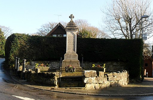
The Maypole, 76 Maypole Road at grid reference TQ421368 in Ashurst Wood, West Sussex. The village seems to have decided within the last thrity years that it is two words and not Ashurstwood as on older maps


