Crawley Circular Walk
![]()
![]() This Sussex based town has two lovely local country parks and miles of woodland trails in the forests to the south. There's also a fine local nature reserve and the nearby High Weald AONB to explore on foot.
This Sussex based town has two lovely local country parks and miles of woodland trails in the forests to the south. There's also a fine local nature reserve and the nearby High Weald AONB to explore on foot.
This short easy circular walk in the town visits Worth Park Gardens and Grattons Park, a local nature reserve. It's a very pretty area and has the bonus of a parkside pub to visit afterwards.
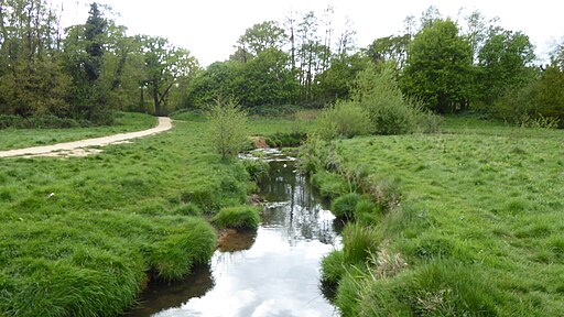
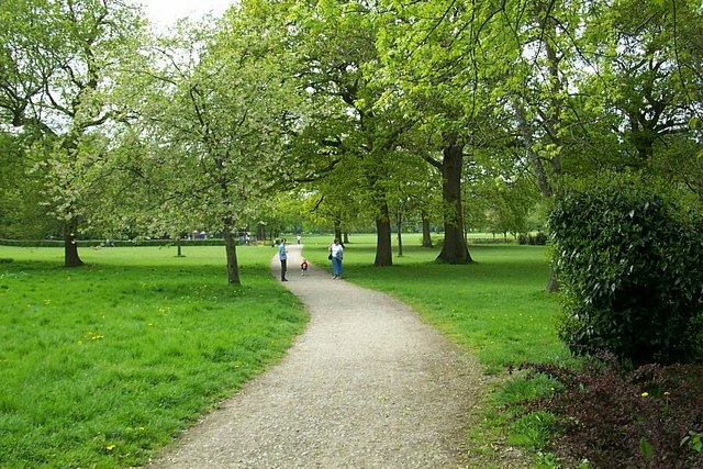
The walk starts in Worth Park to the north east of the town. The attractive park covers eight hectares and includes formal gardens, a lake area and a series of nice surfaced footpaths. A short walk to the west will take you to Grattons Park. There's a series of pretty ponds, streams and lots of wildlife to see here.
To continue your walking around Crawley head west to visit Buchan Country Park. There's 170 acres of woodland, heath, ponds and meadow to explore here. If you head south you can visit Tilgate Forest Park which is one of the walking highlights of the area.
Please scroll down for the full list of walks near and around Crawley. The detailed maps below also show a range of footpaths, bridleways and cycle paths in the area.
Postcode
RH10 3DJ - Please note: Postcode may be approximate for some rural locationsCrawley Ordnance Survey Map  - view and print off detailed OS map
Crawley Open Street Map  - view and print off detailed map
*New* - Walks and Cycle Routes Near Me Map - Waymarked Routes and Mountain Bike Trails>>
Crawley OS Map  - Mobile GPS OS Map with Location tracking
Crawley Open Street Map  - Mobile GPS Map with Location tracking
Pubs/Cafes
The Tavern On The Green is located near the gardens. They have a wonderful beer garden overlooking the green of Grattons Park. They have a good menu and selection of drinks too. You can find them Grattons Drive, Pound Hill with a postcode of RH10 3BA for your sat navs.
Dog Walking
The area is a popular place for dog walking and the Tavern on the Green mentioned above is also dog friendly.
Further Information and Other Local Ideas
The Worth Way also starts in the town. The shared cycling and walking trail will take you to Crawley Down and East Grinstead on a disused rail track. The long distance Brighton Way also starts in the town. The waymarked footpath runs all the way to Brighton on the coast, passing Haywards Heath and Burgess Hill on the way. If you follow it north it will take you to the neighbouring town of Horley.
To the west you can visit Horsham and try the Horsham Riverside Walk to Leechpool Woods. There's also the expansive St Leonard's Forest to visit near the town.
For more walking ideas in the area see the High Weald Walks and Sussex Walks pages.
Cycle Routes and Walking Routes Nearby
Photos
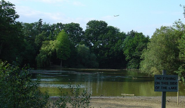
Milton Mount Lake, Pound Hill, Crawley, West Sussex. Milton Mount Lake was once in the grounds of the Worth Park country estate. The estate was absorbed into the residential neighbourhood of Pound Hill and built upon. In the background, it is just possible to see an aircraft that has just taken off from Gatwick airport. The E end of the runway is 2km north of here. Aircraft taking off would not normally be seen from here, as they usually take off into the West (against the prevailing wind). The wind on this day was from the east.


