Beeleigh Falls Walk
![]()
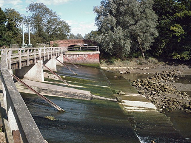
![]() Enjoy a short walk to these pretty falls on the River Chelmer in Essex. It's an interesting spot, where four waterways converge with a series of locks and weirs. The River Chelmer, River Blackwater, the Chelmer and Blackwater Navigation Canal and the tidal Chelmer all meet at Beeleigh Falls. It's a great place for birdwatching so keep your eyes peeled for the Kingfishers which frequent the area.
Enjoy a short walk to these pretty falls on the River Chelmer in Essex. It's an interesting spot, where four waterways converge with a series of locks and weirs. The River Chelmer, River Blackwater, the Chelmer and Blackwater Navigation Canal and the tidal Chelmer all meet at Beeleigh Falls. It's a great place for birdwatching so keep your eyes peeled for the Kingfishers which frequent the area.
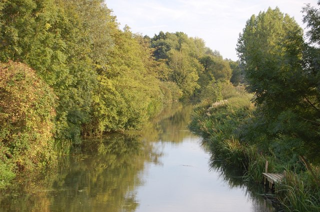
The walk starts in the village of Langford just to the north of the falls. From here you can pick up footpaths running south along the Langford Cut, the section of the Chelmer and Blackwater Navigation (canal) which approaches Maldon. It will take you to the falls where you can also see Beeleigh Falls House, an attractive Victorian villa.
It's easy to extend your walking in the area if you have time. You could try our longer Maldon Circular Walk which starts in the town and visits the rivers, the canal, the falls and the interesting Beeleigh Abbey house, which incorporates the remains of the earlier monastery on the site. The abbey gardens, are now open to the public, on specific days during the summer months.
There's also the option of picking up the Chelmer and Blackwater Navigation Canal and following it to the Blackwater Estuary where you can try the Heybridge Basin Walk. This will take you around the nearby Chigborough Lakes Nature Reserve which is another lovely place for a stroll.
Beeleigh Falls Ordnance Survey Map  - view and print off detailed OS map
Beeleigh Falls Open Street Map  - view and print off detailed map
Beeleigh Falls OS Map  - Mobile GPS OS Map with Location tracking
Beeleigh Falls Open Street Map  - Mobile GPS Map with Location tracking
Cycle Routes and Walking Routes Nearby
Photos
Langford Cut 1. The section of the Chelmer and Blackwater Navigation (canal) which approaches Maldon is known as the Langford Cut.


