Chelmer and Blackwater Navigation
![]()
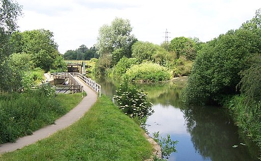
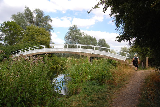
![]() Follow the Chelmer and Blackwater Navigation Canal from Chelmsford to Maldon on this easy, waterside walk in Essex. The canal takes you through some lovely Essex countryside, passing a series of pretty locks, a number of reservoirs and the villages of Little Baddow and Ulting. At Little Baddow you can find a number of nice woodland trails in Blake's Wood, Lingwood Common and Danbury Common. The village and commons are located just to the south of the canal and contain 214 acres of heath, gorse and coppice. The final section of the canal takes you along the Heybridge Basin in Maldon, with views of the National Trust owned Northey Island. There are great views over the Blackwater Estuary to the nature reserve. You can extend the walk by visiting the lovely Marine Lake in Promenade Park which is located right on the lovely estuary. There's also the pretty Chigborough Lakes Nature Reserve near Heybridge Basin which has some nice footpaths to try.
Follow the Chelmer and Blackwater Navigation Canal from Chelmsford to Maldon on this easy, waterside walk in Essex. The canal takes you through some lovely Essex countryside, passing a series of pretty locks, a number of reservoirs and the villages of Little Baddow and Ulting. At Little Baddow you can find a number of nice woodland trails in Blake's Wood, Lingwood Common and Danbury Common. The village and commons are located just to the south of the canal and contain 214 acres of heath, gorse and coppice. The final section of the canal takes you along the Heybridge Basin in Maldon, with views of the National Trust owned Northey Island. There are great views over the Blackwater Estuary to the nature reserve. You can extend the walk by visiting the lovely Marine Lake in Promenade Park which is located right on the lovely estuary. There's also the pretty Chigborough Lakes Nature Reserve near Heybridge Basin which has some nice footpaths to try.
Chelmer and Blackwater Navigation Ordnance Survey Map  - view and print off detailed OS map
Chelmer and Blackwater Navigation Open Street Map  - view and print off detailed map
Chelmer and Blackwater Navigation OS Map  - Mobile GPS OS Map with Location tracking
Chelmer and Blackwater Navigation Open Street Map  - Mobile GPS Map with Location tracking
Pubs/Cafes
At around the half way point on the walk you will come to Paper Mill Lock where there are some fine tea rooms. There's lovely outdoor seating next to the water with a good range of cakes and beverages to sample. You can also enjoy river cruises from here at reasonable prices.
Cycle Routes and Walking Routes Nearby
Photos
Chelmer Traffic. The Navigation was opened to traffic in 1797 and was used mainly for the transport of coal bricks & timber from Maldon to Chelmsford. Today it is used almost exclusively for pleasure craft.


