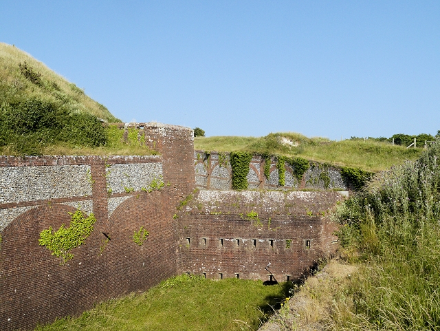
Bembridge Fort Walk
1.4 miles (2.2 km)
![]()
![]() This walk visits Bembridge Fort on Bembridge Down in the Isle of Wight.
This walk visits Bembridge Fort on Bembridge Down in the Isle of Wight.
The mid 19th century Palmerston Fort sits in an elevated spot above the village of Bembridge on the east coast of the island.
It's a pleasant place for a walk with some interesting history and glorious coastal views to enjoy.
There is a car park next to the fort where you can start your walk. From here you can pick up trails around the site before picking up other footpaths to explore Bembridge Down.
It's easy to extend the walk by heading south east to visit the nearby Culver Down. To the north you can pick up the Bembridge Trail and the Yar River Trail.


