Berkhamsted Common
![]()
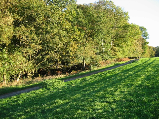
![]() This large area of common land has some nice waymarked footpaths to try. The area is made up of attractive Silver birch woodland and gorsey heath with miles of ancient tracks to follow. You can start the walk from the car park off the New Road which leads north to the common from Berkhamsted. From here you can pick up the waymarked trails around the site. The circular trail takes you past Coldharbour Farm and Frithsden Beaches before returning to the car park. Look out for wildlife including wild deer and a variety of woodland birds.
This large area of common land has some nice waymarked footpaths to try. The area is made up of attractive Silver birch woodland and gorsey heath with miles of ancient tracks to follow. You can start the walk from the car park off the New Road which leads north to the common from Berkhamsted. From here you can pick up the waymarked trails around the site. The circular trail takes you past Coldharbour Farm and Frithsden Beaches before returning to the car park. Look out for wildlife including wild deer and a variety of woodland birds.
The common is part of the wider Ashridge Estate which includes 5,000 acres of woodlands, commons and chalk downland. You can further explore the area on the long distance Ashridge Boundary Trail or the Icknield Way Path. Heading north will take you through Thunderdell Wood and Aldbury Common to Moneybury Hill.
Our Chilterns Pub Walk starts from the nearby Greyhound Inn in Aldbury. It visits Aldbury common before climbing up to the iconic Ivinghoe Beacon.
Berkhamsted Common Ordnance Survey Map  - view and print off detailed OS map
Berkhamsted Common Open Street Map  - view and print off detailed map
Berkhamsted Common OS Map  - Mobile GPS OS Map with Location tracking
Berkhamsted Common Open Street Map  - Mobile GPS Map with Location tracking
Further Information and Other Local Ideas
On the eastern side of the Ashridge Estate you can visit the worthy villages of Little Gaddesden and Great Gaddesden. Around here you can explore the splendid Ashridge House Estate and enjoy some pleasant trails along the River Gade.
Cycle Routes and Walking Routes Nearby
Photos
Spring on Aldbury Common. The Bluebells in their full glory while the trees are not yet fully in leaf.
A dog at the Bank forming the boundary of Thunderdell Wood, Ashridge. The Southern Boundary of Thunderdell Wood is marked by an ancient bank and ditch, with a track on the south side (where the photographer is standing). At this point there is also a track on the North side of the bank which cuts away through Thunderdell Wood towards the Old Dairy.
The Track alongside Thunderdell Wood. The south boundary of Thunderdell Wood is marked with a well-developed ditch and bank, surmounted by mature trees - some of which have already died of old age. This shot shows the start of the track at the car park on the B4506. The track, which started at Aldbury and past the Old Copse Cottage, continues east towards Woodyard Cottages and beyond.


