Blackbrook Reservoir
![]()
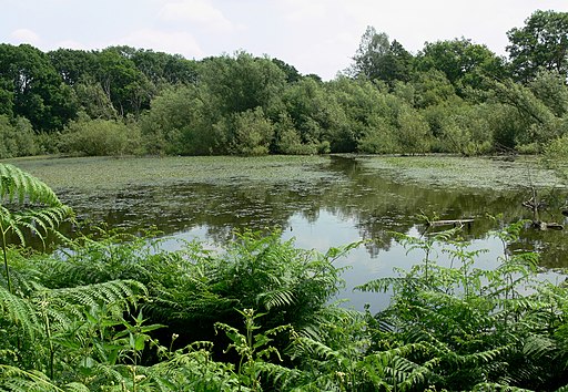
![]() This short walk visits Blackbrook Reservoir near Coalville in Leicestershire. There are walking trails on the southern and northern ends of the water with pockets of woodland and nice views of the surrounding countryside. You can look out for wildlife such as Mandrin ducks on the way.
This short walk visits Blackbrook Reservoir near Coalville in Leicestershire. There are walking trails on the southern and northern ends of the water with pockets of woodland and nice views of the surrounding countryside. You can look out for wildlife such as Mandrin ducks on the way.
The Ivanhoe Way long distance footpath runs through Whitwick and Thringstone so you can pick up this path to extend your walk. You could follow the trail through Cademan Wood and the historic Grace Dieu Priory just to the west of the reservoir.
If you follow the trail south you can visit Thornton Reservoir which has nice footpaths along the water.
You can also link up with Bagworth Heath Woods near here too.
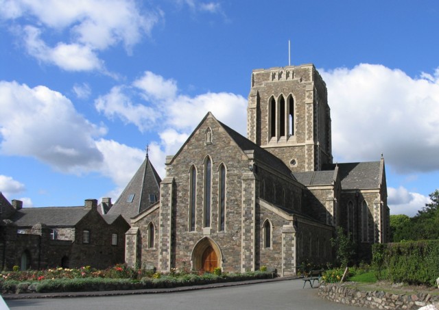
The Shepshed Walk visits the reservoir from the nearby town. It then goes on to explore the historic Mount St Bernard Abbey just to the south of the reservoir.
Postcode
LE12 9YF - Please note: Postcode may be approximate for some rural locationsBlackbrook Reservoir Ordnance Survey Map  - view and print off detailed OS map
Blackbrook Reservoir Open Street Map  - view and print off detailed map
Blackbrook Reservoir OS Map  - Mobile GPS OS Map with Location tracking
Blackbrook Reservoir Open Street Map  - Mobile GPS Map with Location tracking
Pubs/Cafes
At the nearby Mount St Bernard Abbey there's the delightful St. Joseph's Tea Room for post walk refreshments. You could sit outside in the lovely garden and enjoy a delicious cream tea here. You can find them at postcode LE67 5UP for your sat navs.
Further Information and Other Local Ideas
Just to the south east you can pick up the Charnwood Forest Walk. The circular trail explores the parks, woodland, hills, nature reserves and countryside of the Forest district.
About a couple of miles south of the reservoir you can climb to the highest point in Leicestershire at Bardon Hill.
On the western side of Coalville there's some peaceful woodland trails and pretty lakes to see at Queen Elizabeth Diamond Jubilee Wood and Sence Valley Forest Park.
For more walking ideas in the area see the Leicestershire Walks page.
Cycle Routes and Walking Routes Nearby
Photos
Blackbrook Reservoir from near Poacher's Corner. Deep in Charnwood Forest (an area notable for its lack of trees), the low winter sun casts long shadows over the farmland above Blackbrook Reservoir, off Swannymote Road near Shepshed.


