Grace Dieu Priory Woods Walk
![]()
![]() This historic 13th century priory is located close to Coalville in North West Leicestershire.
This historic 13th century priory is located close to Coalville in North West Leicestershire.
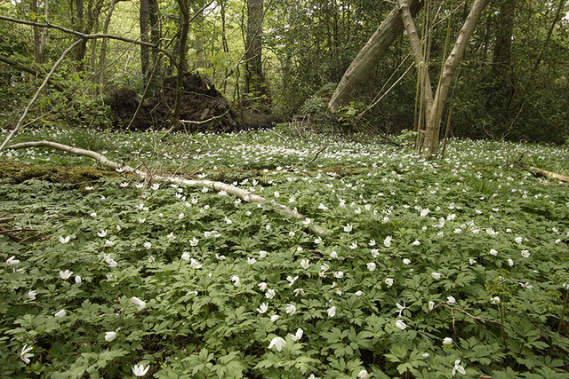
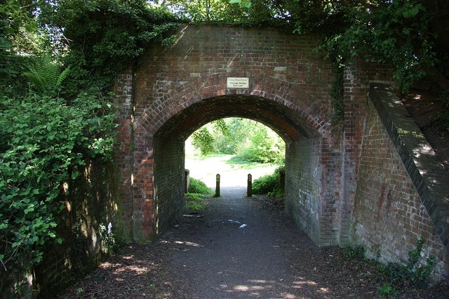
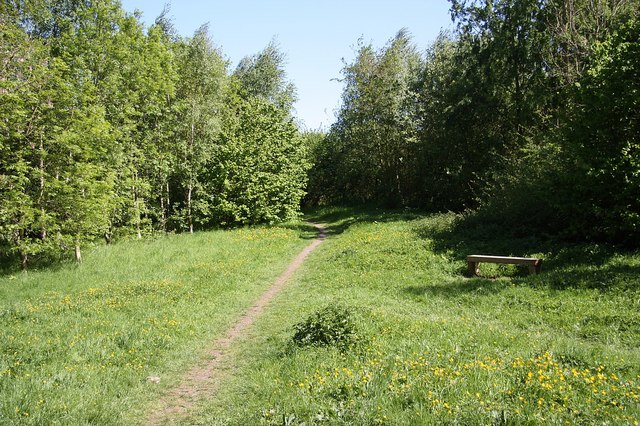
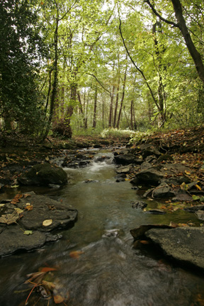
It's a pleasant place for an easy walk with the photogenic ancient ruins surrounded by some attractive woodland trails. In the woods there's views of the Grace Dieu Brook and in the spring lots of pretty Wood Anenome's can be seen too.
One nice idea is to combine this walk with a visit to Mount St Bernard Abbey. The abbey lies just to the south east of the priory and can be reached by picking up the Ivanhoe Way at the southern end of the woods. Follow the waymarked trail east and it will take you past Whitwick to the abbey. Near here there's also Blackbrook Reservoir where you'll find some pleasant waterside trails to try.
Postcode
LE67 5UG - Please note: Postcode may be approximate for some rural locationsPlease click here for more information
Grace Dieu Priory Ordnance Survey Map  - view and print off detailed OS map
Grace Dieu Priory Open Street Map  - view and print off detailed map
Grace Dieu Priory OS Map  - Mobile GPS OS Map with Location tracking
Grace Dieu Priory Open Street Map  - Mobile GPS Map with Location tracking
Pubs/Cafes
The Bulls Head is located very close to the priory and a nice place for some post walk refreshment. The rustic pub serves a good range of meals and has a lovely garden area to relax in on warmer days. You can find them at Loughborough Rd, Thringstone, LE67 8LR.
Dog Walking
The priory woods are ideal for a pleasant dog walk. The Bulls Head mentioned above is also dog friendly.
Further Information and Other Local Ideas
On the western side of Coalville there's some peaceful woodland trails and pretty lakes to see at Queen Elizabeth Diamond Jubilee Wood and Sence Valley Forest Park.
National Cycle Route 52 starts very near to the priory. It runs south towards Coalville, Nuneaton, Coventry and Warwick.
Cycle Routes and Walking Routes Nearby
Photos
Grace Dieu Priory. Looking east from the A512. Although the area around Grace Dieu has historical connections dating back to the Romans and beyond, the Priory came into being around 1235-1241 as a house for Augustinian canonesses. The priory was dissolved in 1538 by Henry VIII.


