Blea Tarn Walk
![]()
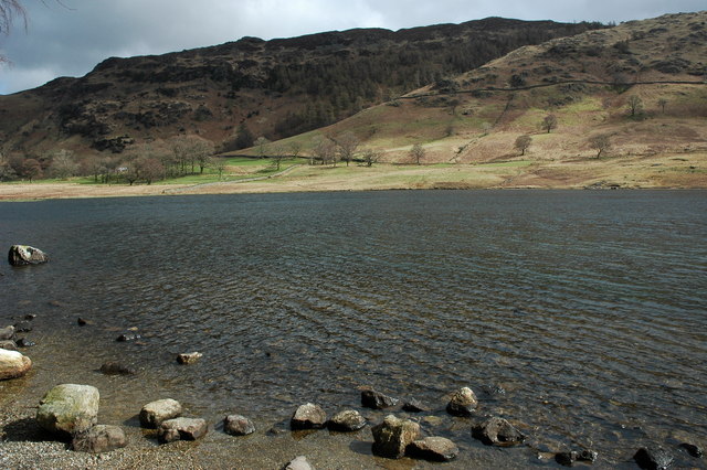
![]() This is a nice easy walk around the lovely Blea Tarn near Eltwerwater in the Lake District National Park. There are terrific views of Lingmoor, Pike of Blisco and the other surrounding Langdale fells. The tarn is very picturesque and popular with photographers. Langdale Pikes make a splendid backdrop, while the shores are lined with beautiful alpine flowers in the spring and summer.
This is a nice easy walk around the lovely Blea Tarn near Eltwerwater in the Lake District National Park. There are terrific views of Lingmoor, Pike of Blisco and the other surrounding Langdale fells. The tarn is very picturesque and popular with photographers. Langdale Pikes make a splendid backdrop, while the shores are lined with beautiful alpine flowers in the spring and summer.
This route starts at the National Trust car park near the tarn (postcode:LA22 9PG) and follows well surfaced paths around the water and through peaceful woodland before a short, steady climb to the high point of the route giving great views of the Little Langdale Valley and the Coniston Fells. You could also start the walk from the Beckfoot rail station on the Ravenglass & Eskdale Railway. You can catch the classic steam train from Ravenglass to Eskdale and then start the short climb to the tarn from the station.
If you'd like to extend your walking in beautiful Eskdale you could head a mile or so south to the lovely
Stanley Ghyll Force. The waterfall drops 60 feet into a narrow gorge with attractive woodland and views of the River Esk to enjoy also.
Postcode
LA22 9PG - Please note: Postcode may be approximate for some rural locationsPlease click here for more information
Blea Tarn Ordnance Survey Map  - view and print off detailed OS map
Blea Tarn Open Street Map  - view and print off detailed map
Blea Tarn OS Map  - Mobile GPS OS Map with Location tracking
Blea Tarn Open Street Map  - Mobile GPS Map with Location tracking
Pubs/Cafes
You could head north from the tarn to Dungeon Ghyll and visit The Sticklebarn for refreshments after your walk. The pub has a great menu and a nice outdoor seating area with lovely views for finer days. There's a roaring fire in the cosy interior for the winter months. You can find it at a postcode of LA22 9JU for your sat navs.
Just to the west is the worthy village of Eskdale Green. The pretty settlement includes a tarn, woods, a Japanese Garden, riverside trails and two fine historic pubs. There's also Eskdale Green station or Irton Road Station on the heritage Ravenglass and Eskdale Railway here. Just north of the village there's the climb to Irton Pike. There's some excellent views to Wast Water from this fine viewpoint.
Dog Walking
The lakeside path makes for a nice dog walk and the Sticklebarn pub mentioned above is also dog friendly.
Further Information and Other Local Ideas
Lingmoor Fell rises up above the tarn and is a lovely place to extend your walk.
For more walking ideas in the area see the Lake District Walks page.
Cycle Routes and Walking Routes Nearby
Photos
From Standing Crag. Manchester Corporation bought the land around Armboth prior to devastating the area. According to Heaton Cooper the Jacksons were the local landowners, one daughter married a Russian Count and it was Countess Ossalinsky who sold the land to the Mancs for a very inflated price.


