Walks around Brentwood
![]()
![]() This Essex based town has three local country parks and some fine countryside trails to explore. Despite being located on the outer edge of London there's some fine open space around this busy commuter town.
This Essex based town has three local country parks and some fine countryside trails to explore. Despite being located on the outer edge of London there's some fine open space around this busy commuter town.
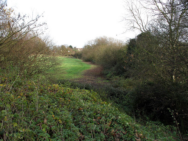
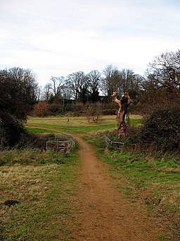
This walk in the town explores St Faith's Country Park on the western side of the town. The area is a nice place for a stroll in the town with 16 hectares of attractive open grassland fields bounded by mature hedgerows. There are various footpaths taking you to areas of scrub, wet woodland, watercourses and ponds.
To extend the walk head north west and you could visit the nearby Weald Country Park. The expansive park is one of the local highlights with miles of walking and cycling trails to try.
Brentwood Ordnance Survey Map  - view and print off detailed OS map
Brentwood Open Street Map  - view and print off detailed map
*New* - Walks and Cycle Routes Near Me Map - Waymarked Routes and Mountain Bike Trails>>
Brentwood OS Map  - Mobile GPS OS Map with Location tracking
Brentwood Open Street Map  - Mobile GPS Map with Location tracking
Walks near Brentwood
- Weald Country Park - Enjoy lakes, tree-lined avenues, parkland and woodland in this 500 acre country park in Brentwood, Essex
- Thorndon Country Park - This large country park is located near Brentwood in Essex and contains a number of fine woodland trails, ideal for walking or cycling
- Upminster - This East London town is located in a nice spot in the London Borough of Havering
- Wat Tyler Country Park - Explore 125 acres of parkland in the beautiful Essex Marshes near Basildon
- Langdon Hills Country Park - This splendid country park in Basildon includes 400 acres of meadows, farmland and woodlands with an abundance of wildlife from Green Winged Orchids to the Great Crested Newt
- Billericay - This Essex based town has some nice country walking trails, a popular local wood and a nearby reservoir to enjoy.
- Hornchurch Country Park - Enjoy a walk or cycle through this large country park in Havering in the Ingrebourne Valley
- Norsey Woods - These lovely woods near Billericay have some good waymarked footpaths to try
- Hanningfield Reservoir - This large body of water near Billericay has some nice woodland walking trails at its southern end
- Ingatestone - This pretty Essex based village has some nice country trails to try
- Belhus Woods Country Park - Enjoy the pretty lakes and peaceful woodland trails in this country park near Ockendon and Dagenham.
- Havering Country Park - Follow footpaths through the woodland and grassland of this country park in the London Borough of Havering
Pubs/Cafes
The Spread Eagle is a good choice for some post walk refreshment. They serve great food and also have a fine selection of ales. There's also a nice garden area to relax in on warmer days. You can find them on 88 Queen's Rd with a postcode of CM14 4HD for your sat navs.
Dog Walking
St Faith's Country Park is popular place for dog walkers. The nearby Thorndon Country Park and Weald Country Park are also great for dog walkers.
Further Information and Other Local Ideas
Just to the south of the town there's miles of walking and cycling trails to follow around Thorndon Country Park. There's a visitor centre, car parking, peaceful woodland, ponds and lots of wildlife to see here.
For more walking ideas in the area see the Essex Walks page.
Photos
Brentwood Cathedral, Ingrave Road. This is the third Roman Catholic Cathedral on this site. Present building was designed in the Classical style by Quinlan Terry and was completed in 1991.
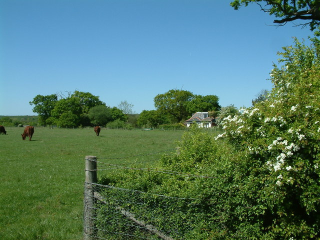
Farmland and Course of Stream. View from Honeypot Lane across farmland towards Brentwood. The line of trees on the right marks the course of a stream.
Stream and Farmland. A stream flowing out of Brentwood to join the River Ingrebourne runs beside a field. The line of trees in the distance mark the route of Honeypot Lane.


