Broadclyst Walks
![]()
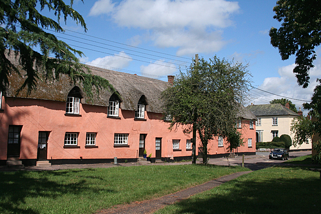
![]() This East Devon village boasts a number of historic properties, a pretty village green, an historic watermill, a 15th century church, a 16th century pub and some fine country footpaths.
This East Devon village boasts a number of historic properties, a pretty village green, an historic watermill, a 15th century church, a 16th century pub and some fine country footpaths.
This circular walk from the village visits two of the highlights of the area at Killerton Park and Ashclyst Forest.
The walk starts in the village where you could pay a visit to the National Trust's Clyston Mill. The mill sits in a fine location on the River Clyst and details the history of milling in the area.
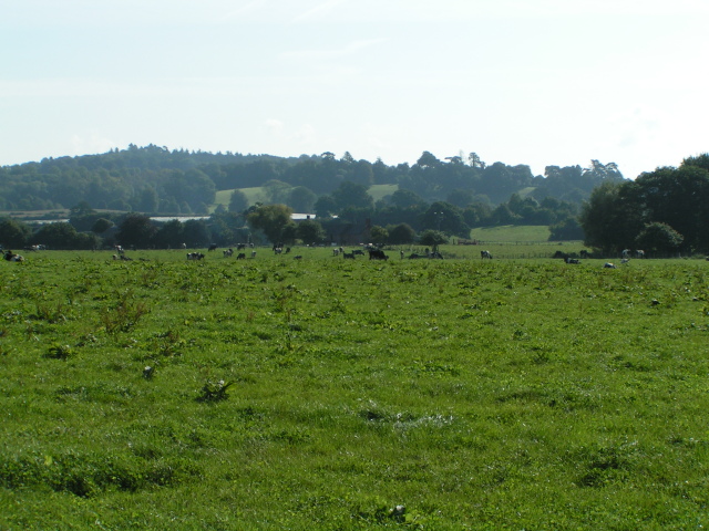
In the village you can pick up the Two Counties Way and follow the waymarked trail north to Killerton Park. The expansive estate is run by the National Trust and surrounds a fine 18th century mansion. There's miles of footpaths with stunning gardens, peaceful woodland and beautiful parkland to see here. On the northern end of the estate you will find the Ellerhayes Bridge and the River Culm Walk. There's another small car park here next to the photogenic 15th century bridge. You can park here and enjoy a stroll along the River Culm with more lovely views to enjoy.
The route then heads east to Budlake before following country lanes to the expansive Ashclyst Forest. The forest is another great place for walking and cycling with several waymarked paths and lots of wildlife to look out for.
After exploring the forest you follow country lanes south west to return to Broadclyst.
Postcode
EX5 3JF - Please note: Postcode may be approximate for some rural locationsBroadclyst Ordnance Survey Map  - view and print off detailed OS map
Broadclyst Open Street Map  - view and print off detailed map
Broadclyst OS Map  - Mobile GPS OS Map with Location tracking
Broadclyst Open Street Map  - Mobile GPS Map with Location tracking
Pubs/Cafes
Back in the village head to the Red Lion for some rest and refreshment after your exercise. The inn dates back to the 16th century and serves good quality food in pleasant surroundings. You can find them at postcode EX5 3EL for your sat navs.
On Whimple Road there's also The New Inn which has a lovely large garden area.
Further Information and Other Local Ideas
The village is located just a few miles north east of the famous city of Exeter. Here you could continue your walking on the Exeter Canal Walk, the Exeter Green Circle and the Exeter Circular Walk.


