Burgess Hill Walk
![]()
![]() This West Sussex town is situated close to the South Downs where you can enjoy some splendid walks.
This West Sussex town is situated close to the South Downs where you can enjoy some splendid walks.
This walk from the town visits some of the highlights of the area including Ditchling Common Country Park, Stoneywish Nature Reserve and the popular Ditchling Beacon, located to the south of the town on the South Downs.
The walk starts just to the south of the train station where you can pick up a bridleway heading north east towards Ditchling Common. The common is a fine open space for walking with miles of trails and a wildlife pond.
Follow the trails south through the common and you can pick up the
Sussex Border Path at the south eastern edge. This waymarked trail will take you south through the countryside of the Low Weald to the village of Ditchling. Just to the east of the village is the Stoneywash Nature Reserve where there's some nice trails and lots of wildlife to see.
Continue south through the village and you will soon come to the Ditchling Beacon Nature Reserve. There's a fine viewpoint here with excellent views over the surrounding area.
Burgess Hill Ordnance Survey Map  - view and print off detailed OS map
Burgess Hill Open Street Map  - view and print off detailed map
Burgess Hill OS Map  - Mobile GPS OS Map with Location tracking
Burgess Hill Open Street Map  - Mobile GPS Map with Location tracking
Further Information and Other Local Ideas
Around Ditchling you enter the South Downs National Park where you can pick up the South Downs Way and visit the wonderful Devils Dyke.
A few miles north east of the town you'll find Chailey Common. There's miles of footpaths and a wildlife reserve in this attractive area.
The waymarked Brighton Way also passes through the town and will take you through the Downs to the coast at Brighton.
In nearby Bolney you could pay a visit to the impressive Bolney Wine Estate. Here you can enjoy guided tours of the vineyard and learn all about the history of the wine making process. The pretty village also includes a noteworthy 12th century church, several listed buildings and the well known Bolney Stage pub which is hundreds of years old.
On the northern side of the town there's the Bedelands Nature Reserve to explore. The wildlife rich reserve includes bluebell woodland, wildflower meadows, grazed meadows, a lake and a waterfall.
For more walking ideas in the area see the South Downs Walks and Sussex Walks pages.
Cycle Routes and Walking Routes Nearby
Photos
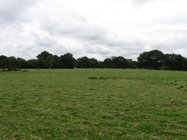
Fools Wish. The name of the field according to the 1843 tithe map and currently belonging to Stoneywish Country Park. A footpath from Ditchling to Spatham Lane, just beyond the hedge at the end of the field, runs through this large field.
Ditchling Village Green. Located between Lodge Hill Lane and the church with a couple of restored 18th century barns. The green was created in 1960 from the former yard of Court Farm having been purchased to prevent any further development.
Ditchling from Ditchling Beacon. Taken from above the nature reserve looking north towards the village of Ditchling. The junction at the bottom of the hill is where Beacon Road crosses with Underhill Lane.
Bridleway to Ditchling Common from Burgess Hill. An old route judging by the embankments with trees marking field boundaries either side. The original bridleway left Keymer Road next to what is now the junction with Folders Lane but is now built over though its path can be traced. The eastern end is the only remaining part in its original state.


