Cadover Bridge to Dewerstone Rocks Walk with OS Map
![]()
![]() This varied walk in Dartmoor explores the attractive woodland, rivers and crags around Cadover Bridge and Dewerstone.
This varied walk in Dartmoor explores the attractive woodland, rivers and crags around Cadover Bridge and Dewerstone.
The walk starts from the Cadover Bridge car park and takes you along a lovely section of the River Plym to North Wood with its mixed silver birch and oak. You continue through the woodland to Shaugh Bridge where you cross the Plym to begin the return leg on the northern side of the river. This section takes you through Dewerstone Wood and past the Dewerstone Rocks which are a popular spot for climbers. The route then passes Cadworthy Wood and Cadworthy Farm before returning to the car park.
The walk can be extended by continuing along the Plym at Shaugh Bridge through the beautiful Bickleigh Vale. You could also try the Plymbridge Woods Cyle and Walking trail. This follows the trackbed of a disused railway line through oak woodland, with the River Plym by your side for part of the way.
The Dewerstone woods are located close to the village of Shaugh Prior.
You can visit the site by following a footpath north west from the village.
Postcode
PL7 5EH - Please note: Postcode may be approximate for some rural locationsCadover Bridge to Dewerstone Rocks Ordnance Survey Map  - view and print off detailed OS map
Cadover Bridge to Dewerstone Rocks Open Street Map  - view and print off detailed map
*New* - Walks and Cycle Routes Near Me Map - Waymarked Routes and Mountain Bike Trails>>
Cadover Bridge to Dewerstone Rocks OS Map  - Mobile GPS OS Map with Location tracking
Cadover Bridge to Dewerstone Rocks Open Street Map  - Mobile GPS Map with Location tracking
Explore the Area with Google Street View 
Pubs/Cafes
At the car park there's a seasonal ice cream van where you can pick up drinks and sweet treats.
Head into Shaugh Prior and you could enjoy something more substantial at the White Thorn Inn. The friendly pub has a lovely garden area with nice views and resident goats. There's a good selection of local ales and a fine Sunday carvery as well. You can find them at postcode PL7 5HA for your sat navs.
Dog Walking
The woodland and river trails make for a fine dog walk. You'll likely see other owners on your visit. The White Thorn Inn mentioned above is also dog friendly.
Further Information and Other Local Ideas
Just to the north you can visit Yelverton Garden House. There's 10 acres of beautiful gardens with an Arboretum, a lake, picturesque bridges and little waterfalls. You can also pick up the West Devon Way long distance footpath in this area.
Cycle Routes and Walking Routes Nearby
Photos
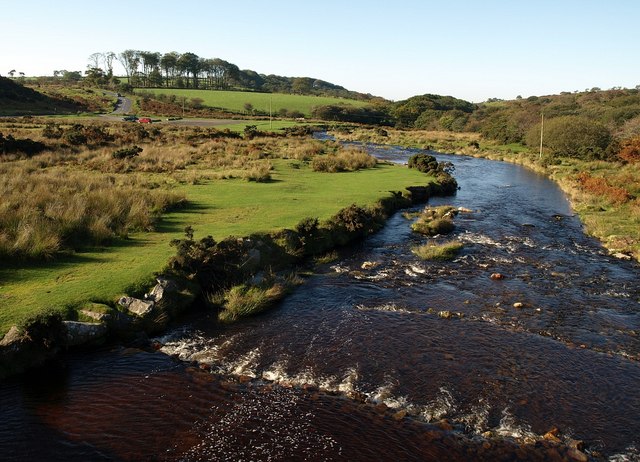
River Plym from Cadover Bridge. Looking downstream from the bridge. In the foreground is one of a series of small weirs along this stretch of the river.
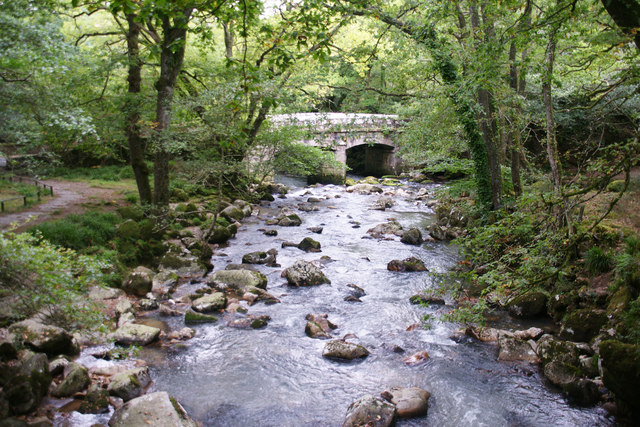
River Plym Below Cadover Bridge, the Plym drops between North Wood to the south and Cadworthy Wood on the north. Here, the river has cut something of a gorge, with granite walls appearing in Cadworthy Wood. A kilometre downstream these culminate in the Dewerstone. The photo was taken from the end of a small island in mid-stream.


