Chilworth Gunpowder Mills Walk
![]()
![]() This interesting historical walk takes you along the Chilworth Gunpowder Mills near Guildford.
This interesting historical walk takes you along the Chilworth Gunpowder Mills near Guildford.
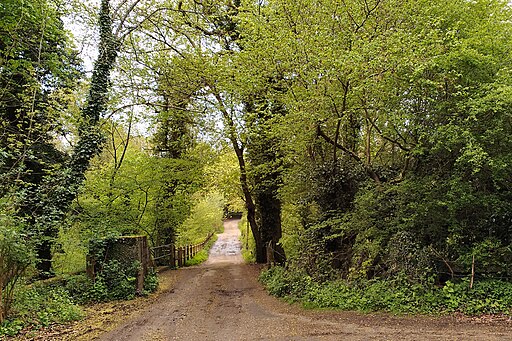
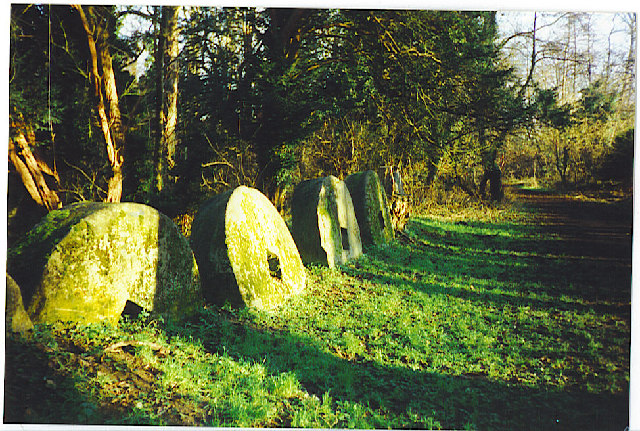
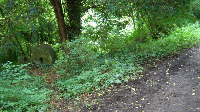
The route follows the Tillingbourne River passing along the ruins of the old mills. On the site there's nice woodland trails, large old millstones and information boards with useful maps detailing the history of the mills. These were originally established in 1625 by the East India Company and finally closed in 1920. They became an important supplier of gunpowder to the Government during the 17th, 18th and 19th centuries.
There are about 100 buildings to see some of which are still mostly in tact. You can start the walk on Blacksmith Lane which is just a short walk west from Chilworth Train Station. From Blacksmith Lane you head east along the waymarked trail for about a mile.
Postcode
GU4 8NQ - Please note: Postcode may be approximate for some rural locationsChilworth Gunpowder Mills Ordnance Survey Map  - view and print off detailed OS map
Chilworth Gunpowder Mills Open Street Map  - view and print off detailed map
Chilworth Gunpowder Mills OS Map  - Mobile GPS OS Map with Location tracking
Chilworth Gunpowder Mills Open Street Map  - Mobile GPS Map with Location tracking
Further Information and Other Local Ideas
The North Downs Way passes through the site. You could pick up the waymarked trail and head south to explore Blackheath Common or north to climb to St Martha's Hill.
Just to the east there's Albury Park near the pretty villages of Shere and Gomshall.
The circular Godalming Walk passes the site. You could pick it up and follow it south west to visit the lovely nature reserve at Chinthurst Hill. The reserve is run by Surrey Wildlife Trust and includes a 1930s hill top folly, woodland trails, a fine country house, a viewpoint toposcope and lots of interesting flora and fauna.
For more walking ideas in the area see the North Downs Walks page.
Cycle Routes and Walking Routes Nearby
Photos
Concrete shells of former buildings still line the Tillingbourne. The industry here started in 1882 and lasted till WW2.


