Crawley Down Walks
3.4 miles (5.5 km)
![]()
![]() This West Sussex based village, lies just to the west of East Grinstead on the edge of the High Weald AONB.
This West Sussex based village, lies just to the west of East Grinstead on the edge of the High Weald AONB.
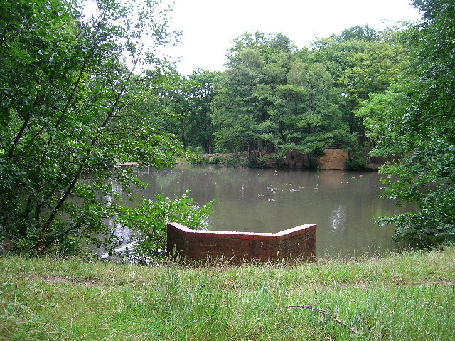
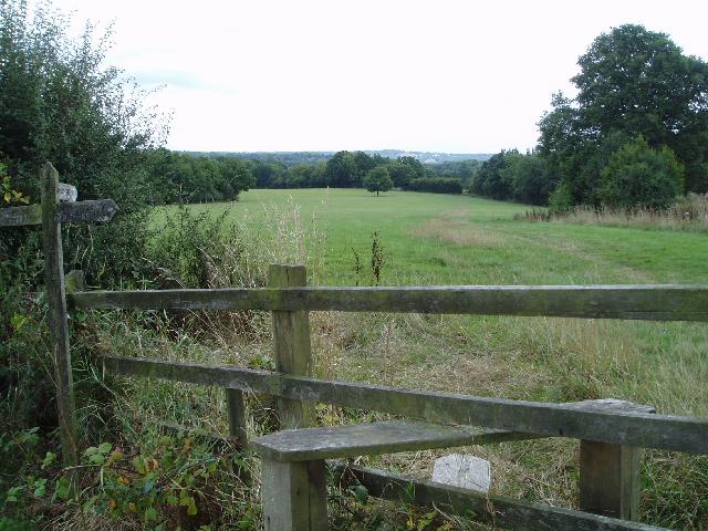
This circular walk uses sections of the Worth Way and the Sussex Border Path to explore the countryside and woodland to the east of the settlement. On the way there's some nice countryside views and a visit to the pond in the Worth Way country park.
To continue your walking around Crawley Down you could head south east to visit Weir Wood Reservoir. The large lake includes a fine waterside trail and is considered one of the area highlights.
Crawley Down Ordnance Survey Map  - view and print off detailed OS map
Crawley Down Open Street Map  - view and print off detailed map
Crawley Down OS Map  - Mobile GPS OS Map with Location tracking
Crawley Down Open Street Map  - Mobile GPS Map with Location tracking
Walks near Crawley Down
- East Grinstead - The town of East Grinstead is located in the Mid Sussex District of West Sussex. It's nicely situated on the edge of the High Weald AONB where there are great opportunities for walking
- High Weald Landscape Trail - Explore the High Weald AONB on this fabulous 90 mile walk that links the ridge-top villages and historic gardens for which the area is famous
- Forest Way - This cycling and walking route runs from East Grinstead to Groombridge following National Cycle Route 21 along a flat tree lined path
- Weir Wood Reservoir - This 280 acre reservoir has a super circular walking path to try
- Standen House - Explore the gardens, parkland and woodland surrounding this 19th century National Trust house near East Grinstead
- Worth Way - This 7 mail long bridleway and footpath runs along National Cycle route 21 from Crawley to East Grinstead via the village of Crawley Down
- Hever Castle - Explore the beautiful grounds of this historic castle in Kent on this circular walk
- Wakehurst Place - Located in Haywards Heath, Wakehurst is the country estate of the Royal Botanic Gardens, Kew
- Forest Row - This large East Sussex based village is in a good spot for exploring the countryside and woodland of the High Weald
- Ashdown Forest - Explore the 'home' of Winnie-the-Pooh in this large area of woodland and heathland near Crowborough
- Ashurst Wood - This Sussex based village has some nice trails through the surrounding woodland and countryside of the High Weald AONB.
- Chiddingstone - This delightful Kent village includes many picturesque features including a village pond, Chiddingstone Castle and several historic timber framed properties dating back to the Tudor period.
- Sussex Border Path - A fabulous long distance walk following the Sussex county border from Thorney Island in West Sussex to Rye in East Sussex


