Doncaster River Walk
![]()
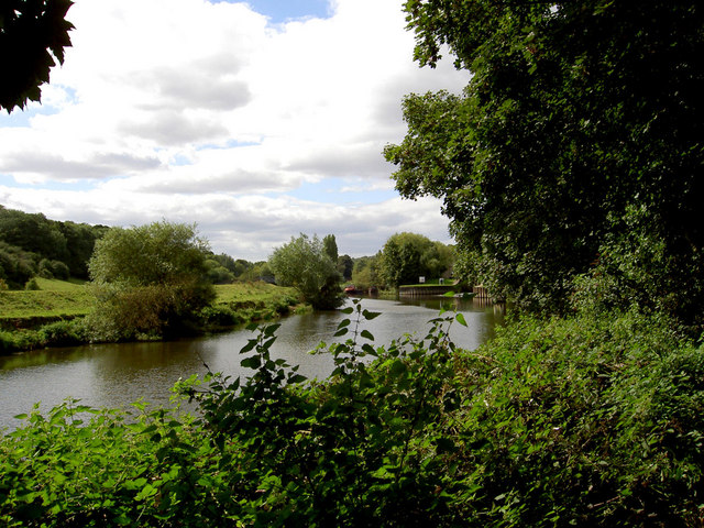
![]() A lovely riverside walk along the River Don from Doncaster to Conisbrough. It's a really nice section of the river with weirs, nature reserves, bridges and locks to see along the way. The walk runs for about 6 miles on nice flat paths with the option of getting the train back at the end of the walk. It forms part of the Don Valley Way, a long distance route which can be followed all the way to Sheffield.
A lovely riverside walk along the River Don from Doncaster to Conisbrough. It's a really nice section of the river with weirs, nature reserves, bridges and locks to see along the way. The walk runs for about 6 miles on nice flat paths with the option of getting the train back at the end of the walk. It forms part of the Don Valley Way, a long distance route which can be followed all the way to Sheffield.
Starting in Doncaster follow the river west Spotborough. Here you will find the Spotborough Flash Nature Reserve on the left bank of the River Don. It's a great place for wildlife with kingfishers, brown hare, grass snakes, bitterns, ruddy darters, and great crested grebe to look out for. Interesting flora include common spotted orchid, spindle, small leaved lime, woodruff, greater stitchwort and the early purple orchid.
This section also includes a visit to Sprotbrough Falls. This popular local beauty spot is a great place to stop for a rest and enjoy the rushing waters of the weir.
The route continues past Pot Ridings Wood to the impressive Conisbrough Viaduct. It was opened in 1909, 1,527 feet in length and includes 21 arches.
The final section takes you through some riverside woodland before finishing in Conisbrough.
The walk uses the long distance Trans Pennine Trail for part of the route. You can extend the walk by continuing west and visiting Denaby Ings Nature Reserve. The reserve has a pretty lake and lots of wildlife to see.
For a longer circular walk through the area you could try the Doncastrian Way.
Doncaster River Walk Ordnance Survey Map  - view and print off detailed OS map
Doncaster River Walk Open Street Map  - view and print off detailed map
Doncaster River Walk OS Map  - Mobile GPS OS Map with Location tracking
Doncaster River Walk Open Street Map  - Mobile GPS Map with Location tracking
Further Information and Other Local Ideas
To the south of Doncaster there's the interesting village of Tickhill to investigate. The historic village includes a 12th century castle with a moat and pretty millpond.
Also to the south is the Potteric Carr Nature Reserve. Here you'll find 500 acres of marsh, scrub, waterways, grassland and woodland with lots of wildlife to see. On the eastern fringes of the town there's some easy trails around Sandall Beat Wood.
To the east you can pick up the Peatlands Way to exploreThorne Moors and Hatfield Moors, part of the Humberhead Peatlands National Nature Reserve. The moors are the second largest lowland raised peat bog in England and notable for their diversity of wildlife and plantlife.


