Potteric Carr Nature Reserve
![]()
![]() Follow a network of footpaths around this large nature reserve in Doncaster. There are nearly 500 acres to explore with habitats including marsh, scrub, waterways, grassland and woodland. Over 230 species of bird have been spotted in the reserve including Bittern, Greater Spotted Woodpecker and Kingfisher. Also look out for other wildlife including Roe Deer and Grass Snakes.
Follow a network of footpaths around this large nature reserve in Doncaster. There are nearly 500 acres to explore with habitats including marsh, scrub, waterways, grassland and woodland. Over 230 species of bird have been spotted in the reserve including Bittern, Greater Spotted Woodpecker and Kingfisher. Also look out for other wildlife including Roe Deer and Grass Snakes.
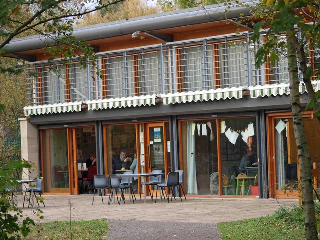
There is an abundance of interesting plantlife in the reserve too. Yellow iris and pink violets can be seen near the waterways while hawthorn blossom lines the pathways. The reserve also has very good on site facilities including a Visitor centre and cafe. It is located less than 2 miles south of the centre of Doncaster.
Postcode
DN4 8DB - Please note: Postcode may be approximate for some rural locationsPlease click here for more information
Potteric Carr Nature Reserve Ordnance Survey Map  - view and print off detailed OS map
Potteric Carr Nature Reserve Open Street Map  - view and print off detailed map
Potteric Carr Nature Reserve OS Map  - Mobile GPS OS Map with Location tracking
Potteric Carr Nature Reserve Open Street Map  - Mobile GPS Map with Location tracking
Further Information and Other Local Ideas
Head a few miles north from the reserve and you'll find some nice woodland trails around Sandall Beat Wood.
You could also pick up the Doncaster River Walk and visit the picturesque Sprotbrough Falls and the impressive Conisbrough Viaduct.
The long distance Trans Pennine Trail and Doncastrian Way can also be picked up here.
To the east you can pick up the Peatlands Way to explore Thorne Moors and Hatfield Moors, part of the Humberhead Peatlands National Nature Reserve. The moors are the second largest lowland raised peat bog in England and notable for their diversity of wildlife and plantlife.
Cycle Routes and Walking Routes Nearby
Photos
Black Carr Bridge. Girder bridge carrying the railway over the Potteric Carr yellow route nature trail and East Coast Mainline railway.


