Dundas Aqueduct Walk
![]()
![]() This waterside walk visits the impressive Dundas Aqueduct in Somerset. The Scheduled Ancient Monument carries the Kennet and Avon Canal over the River Avon (the Somerset / Wiltshire border) and the Wessex Main Line railway from Bath to Westbury.
This waterside walk visits the impressive Dundas Aqueduct in Somerset. The Scheduled Ancient Monument carries the Kennet and Avon Canal over the River Avon (the Somerset / Wiltshire border) and the Wessex Main Line railway from Bath to Westbury.
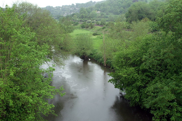
Start the walk from the car park at the Canal Visitor Centre at Brassknocker Hill in Monkton Combe. From here you can pick up footpaths heading north to Dundas Wharf and the aqeuduct. The structure was completed in 1805 and is 150 yards (137.2 m) long with three arches built of Bath Stone. The canal crosses back across the Avon and the railway on another aqueduct at Avoncliff where there is another fine walk to try. You can climb up onto the aqueduct and enjoy fine views down to the River Avon below and across the surrounding Somerset countryside.
To extend the walk you could continue along the towpaths of either the Kennet and Avon Canal or Somerset Coal Canal. Heading south well take you to Avoncliff so you could take in two aqueducts on your outing. It's about a 3 mile walk to the neighbouring sctructure and well worth a visit if you have time.
Postcode
BA2 7JD - Please note: Postcode may be approximate for some rural locationsDundas Aqueduct Ordnance Survey Map  - view and print off detailed OS map
Dundas Aqueduct Open Street Map  - view and print off detailed map
*New* - Walks and Cycle Routes Near Me Map - Waymarked Routes and Mountain Bike Trails>>
Dundas Aqueduct OS Map  - Mobile GPS OS Map with Location tracking
Dundas Aqueduct Open Street Map  - Mobile GPS Map with Location tracking
Pubs/Cafes
The Angelfish cafe is located at the start/end of the walk and a great place to enjoy some refreshments after your exercise. They have a nice outdoor seating area next to the canal so you can sit and watch the boats go by as you enjoy a meal. They have good menu and are also dog friendly if you have your canine friend with you.
Further Information and Other Local Ideas
Head south from Monkton Combe and you visit the pretty village of Freshford where there are nice walks along the River Frome. There's also a noteworthy 16th century pub with an award winning garden here too.
Cycle Routes and Walking Routes Nearby
Photos
Dundas Aqueduct carrying the Kennet and Avon Canal across the River Avon, looking west. On the other side of the aqueduct the short remaining section of the Somersetshire Coal Canal leads off to the left.
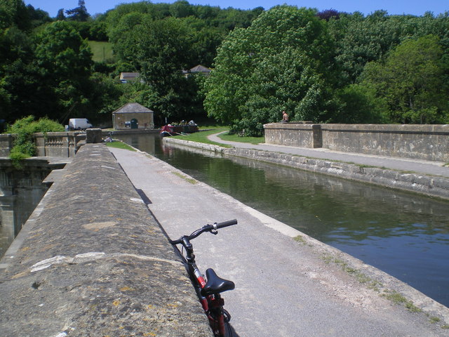
A bike rests on top of the Aqueduct located on the Kennet & Avon canal, between Bradford on Avon and Bath. A popular cycle route, forming part of National Cycle Route 4.


