Farndale Daffodil Walk
![]()
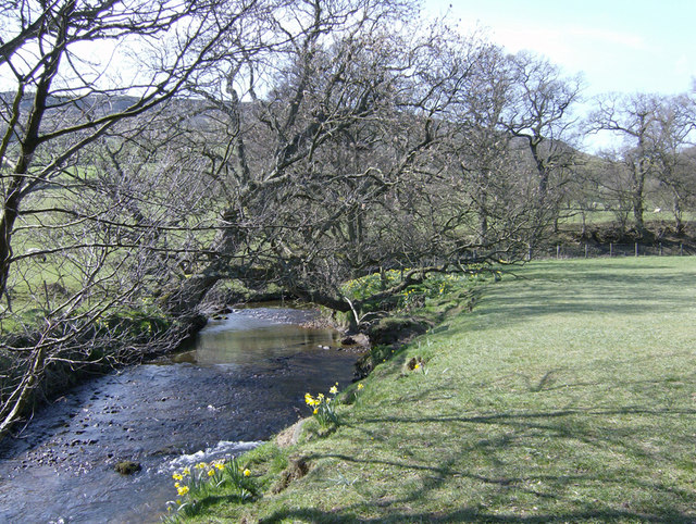
![]() Explore beautful Farndale on this lovely circular walk in the North York Moors National Park. The 'wild' daffodils of Farndale are very well known and attract large numbers of visitors in the spring. The River Dove runs through the area with the pretty daffodils lining the riverbank.
Explore beautful Farndale on this lovely circular walk in the North York Moors National Park. The 'wild' daffodils of Farndale are very well known and attract large numbers of visitors in the spring. The River Dove runs through the area with the pretty daffodils lining the riverbank.
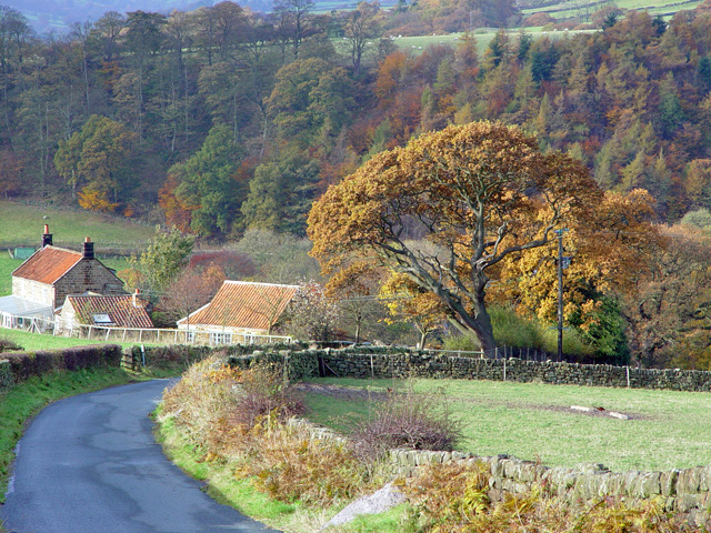
The lovely valley is also surrounded by some splendid, wild moorland scenery.
You can start the walk from the Low Mill car park and follow the River Dove north to Church Houses. This is roughly the halfway point on the walk and a nice place to stop for refreshments at the local pub. The route then returns to the car park on a mixture of footpaths and country lanes.
On this section there's some moderate climbing with lovely views over Low Blakey Moor.
If you would like to continue your walking in the area then head a few miles to the east and visit Rosedale. It's another beautiful valley with the ruins of the former Cistercian Priory of Rosedale Abbey to see. You can also explore the area on our Blakey Ridge Walk which climbs to the 1,300 feet (400 m) summit for great views over the moors.
To the north of Church Houses you can pick up two of the long distance trails which run through the Farndale.
The Lyke Wake Walk can be followed west across Farndale Moor or east towards Glaisdale Moor.
The Esk Valley Walk will take you north across Westerdale Moor.
Postcode
YO62 7UY - Please note: Postcode may be approximate for some rural locationsFarndale Daffodil Walk Ordnance Survey Map  - view and print off detailed OS map
Farndale Daffodil Walk Open Street Map  - view and print off detailed map
Farndale Daffodil Walk OS Map  - Mobile GPS OS Map with Location tracking
Farndale Daffodil Walk Open Street Map  - Mobile GPS Map with Location tracking
Pubs/Cafes
Head a couple of miles north from car park and you can visit the Blakey Ridge where you'll find The Lion Inn. This inn is one of the most significant pubs in the country and well worth some investigation. The historic pub dates from the 16th century and is located at the highest point on the North York Moors. It stands at an impressive elevation of 1,325 feet offering breathtaking views over the valleys of Rosedale and Farndale. There's a cosy interior with ancient fireplaces, low beamed ceilings and a good selection of ales. Outside there's a beer garden with terrific views, ideal for a warm summer day. The pub is also dog friendly. You can find the pub at postcode YO62 7LQ for your sat navs.
Further Information and Other Local Ideas
Just a few miles to the south east you can explore the expansive Cropton Forest and the historic villages of Hutton-le-Hole and Lastingham, where you'll find the excellent Ryedale Folk Museum and the noteworthy 11th century St Mary's church respectively.
For more walking ideas in the area see the North York Moors Walks page.


