Glenariff Forest Park Waterfall Walk
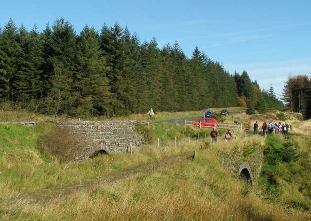
![]() This 1185 hectare (2928 acre) forest has miles of walking trails including the waterfall walk and scenic trail.
This 1185 hectare (2928 acre) forest has miles of walking trails including the waterfall walk and scenic trail.
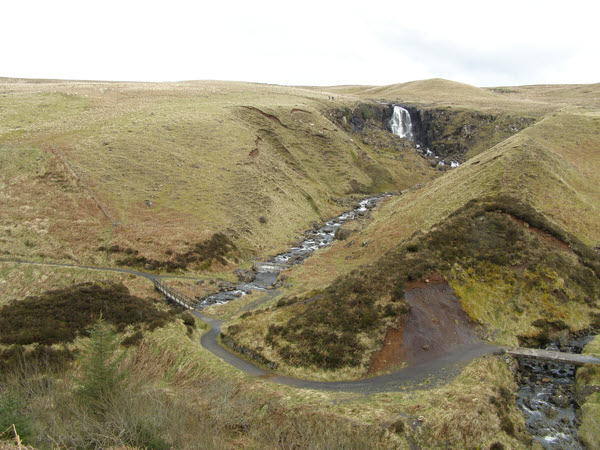
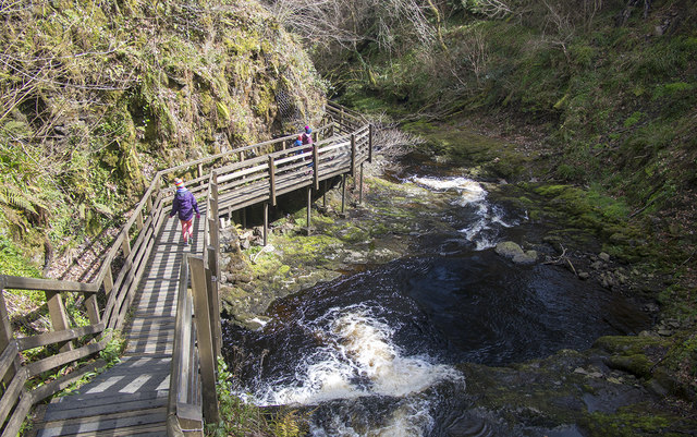
The waterfall walk is particularly lovely with footpaths leading you through steep wooded gorges with a series of beautiful falls to enjoy. There are some steep sections but it is a fairly easy climb and the footpaths are well maintained. There are some wonderful views of the surrounding area to enjoy from the high points.
The park is located in Glenariff County Antrim. There are good facilities with a car park, tea room and gift shop.
The Ulster Way long distance trail passes through the forest so you could pick this up to extend your walking. Heading north will take you to Breen Forest and the lovely Ballypatrick Forest where there are some nice waymarked trails to try.
Postcode
BT44 0QX - Please note: Postcode may be approximate for some rural locationsGlenariff Forest Park Open Street Map  - view and print off detailed map
Glenariff Forest Park Open Street Map  - Mobile GPS Map with Location tracking
Further Information and Other Local Ideas
A few miles south you can enjoy a climb to the popular Slemish Mountain. There's excellent views over the area from the summit of this viewpoint near Broughshane.
To the south east there's the Antrim coast where you'll find Carnfunnock Country Park. There's 191 hectares to explore here with woodland trails, a maze, a beautiful sculptured walled garden and a wonderful coastline. The epic Gobbins Cliff Path and the Blackhead Lighthouse are further south along the coast and well worth a visit.
To the south east there's Glenarm where you can visit the historic Glenarm Castle and enjoy a walk around their beautiful grounds and gardens. Near here there's more fine coastal views and an ancient ruined church in Cushendall. In neighbouring Carnlough you can try the Carnlough Cranny Falls Walk. This takes you along the old Mineral Railway to a picturesque waterfall and river gorge.
Head north and you could try the Ballycastle Fair Head Walk. The circular loop walk takes you around a beautiful headland with some spectacular cliff top views. Near here you could also visit Torr Head. The scenic area is notable as the closest point in Northern Ireland to Scotland, with only 12 miles separating them across the Irish Sea.
Cycle Routes and Walking Routes Nearby
Photos
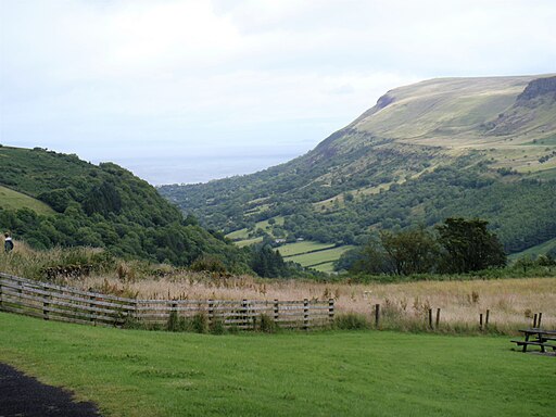
These picnic tables are outside the park visitor centre. The view is down Glenariff towards Red Bay.


