Goulceby and Red Hill Nature Reserve Walk
![]()
![]() Goulceby is a Lincolnshire Wolds village located in the East Lindsey district of the county.
Goulceby is a Lincolnshire Wolds village located in the East Lindsey district of the county.
This circular walk from the village takes you to the lovely Red Hill Nature Reserve which lies just to the north of the settlement. The reserve includes a waymarked trail taking you around steep chalk escarpment grassland and a disused quarry with an exposure of Red Chalk, rich in fossils. There's plenty of lovely rare flora which attracts a variety of butterflies and moths. The meadow pipit also nests in the reserve.
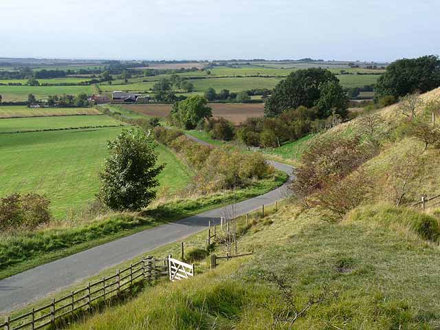
From the high points of the elevated escarpment there are some splendid views over the surrounding Lincolnshire Wolds countryside to enjoy.
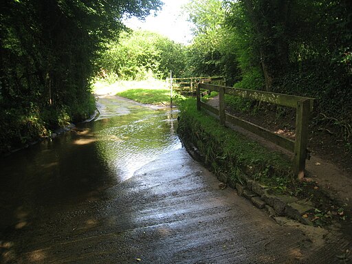
You can reach the reserve by following public footpaths and country lanes north from the village. It's just over a mile walk from Goulceby to the site.
The Lincolnshire Wolds Way and the Viking Way long distance footpaths pass through the village. You could follow the Viking Way north to visit neighbouring Donington on Bain where you could enjoy some riverside trails along the River Bain and visit the historic 12th century church.
Postcode
LN11 9WA - Please note: Postcode may be approximate for some rural locationsGoulceby Ordnance Survey Map  - view and print off detailed OS map
Goulceby Open Street Map  - view and print off detailed map
Goulceby OS Map  - Mobile GPS OS Map with Location tracking
Goulceby Open Street Map  - Mobile GPS Map with Location tracking
Walks near Goulceby
- Donington on Bain - This pretty village is located in the Lincolnshire Wolds AONB, on the banks of the River Bain
- Louth Canal - Enjoy a waterside walk along the Louth Canal from Louth to Tetney Marshes
- Horncastle - This walk takes you along the old Horncastle Canal and the River Bain from the town centre of this Lincolnshire town.
- Market Rasen - This Lincolnshire based town is located in the West Lindsey district of the county
- Hubbard's Hills - This area of natural beauty in Louth is a lovely place for an afternoon stroll
- Alford - This small market town is located in a lovely spot on the edge of the Lincolnshire Wolds AONB
- Snipe Dales Country Park - Explore 220 acres of country park and nature reserve in the beautiful Lincolnshire Wolds
- Chambers Farm Wood - Enjoy a series of peaceful walking trails in this forest and nature reserve in Wragby
- Woodhall Spa - Woodhall Spa is a very attractive former spa town on the edge of the Lincolnshire Wolds
- Tealby - This pretty village near Market Rasen is surrounded by some lovely rolling Lincolnshire Wolds countryside
- Willingham Woods - These woods near Market Rasen have miles of good footpaths and cycling trails to try.
- Covenham Reservoir - Enjoy a circular walk around this pretty reservoir and along the Louth Canal on this waterside walk in Lincolnshire.
- Belchford - This pretty village lies in the Lincolnshire Wolds, an Area of Outstanding Natural Beauty
- Hagworthingham - This small Lincolnshire village is located in the East Lindsey district near Horncastle
- Biscathorpe - This Lincolnshire Wolds walk takes you from the medieval village at Biscathorpe to another medieval site at nearby Wykeham
- Binbrook - This pretty village is located in the East Lindsey district of Lincolnshire near to the town of Market Rasen.
- Kirkby On Bain - This riverside Lincolnshire village sits in a peaceful rural spot near Horncastle, Woodhall Spa and Coningsby
Pubs/Cafes
The Three Horseshoes is a fine place for post walk refreshments. They have a good menu and a nice garden area to sit in. They also have a Glamping & campsite to stay in. You can find them at postcode LN11 9WA.


