Holford Combe Walk
![]()
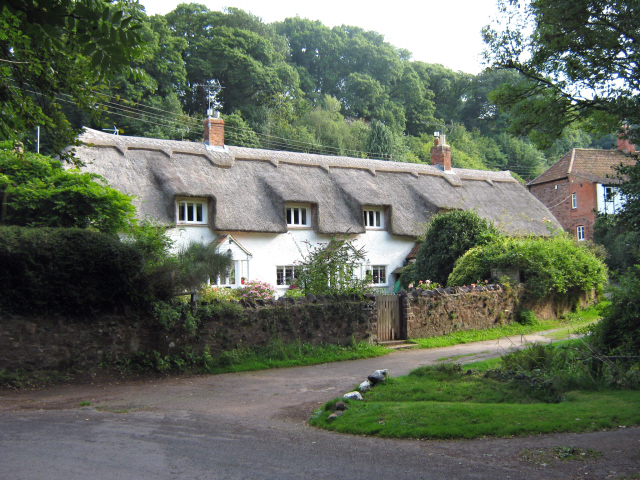
![]() This lovely Quantocks village has some nice walks to try through the surrounding woodland and countryside. Just to the south of the village is a large area of woodland with a myriad of tracks and paths to try. The bridleways are also good for mountain bikers.
This lovely Quantocks village has some nice walks to try through the surrounding woodland and countryside. Just to the south of the village is a large area of woodland with a myriad of tracks and paths to try. The bridleways are also good for mountain bikers.
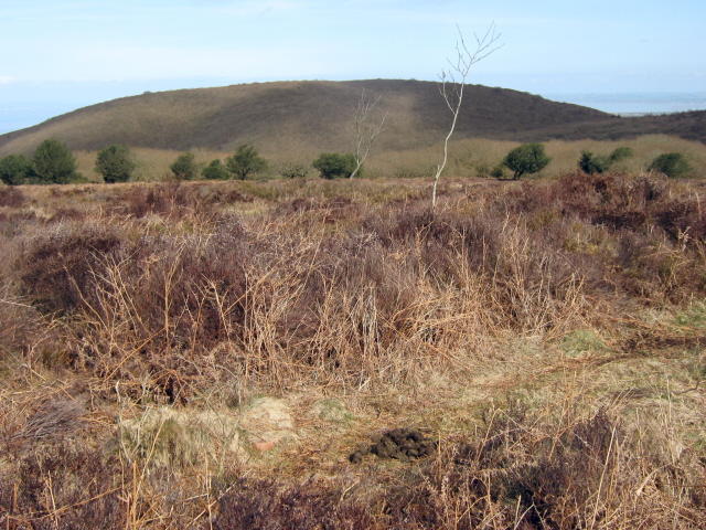
You can pick up the trails from just south of the village. They will take you past Woodlands Hill towards Dowsborough Camp Iron Age Hill Fort. You then pass through Lady's Combe and Holford Combe before returning to the village. You can extend your exercise by visting the adjacent Great Wood or Hodder's Combe. The Coleridge Way also passes through the village and the woods. You can follow the trail from nearby Nether Stowey to visit the site. Similarly the long distance Quantock Greenway passes through Holford so this is another good option.
Holford Ordnance Survey Map  - view and print off detailed OS map
Holford Open Street Map  - view and print off detailed map
Holford OS Map  - Mobile GPS OS Map with Location tracking
Holford Open Street Map  - Mobile GPS Map with Location tracking
Further Information and Other Local Ideas
A few miles west there's the worthy town of Watchet to visit. The attractive settlement has an interesting maritime history with museums and a 16th century inn. There's also a picturesque harbour and a fossil rich beach to explore as well.
Head a few miles north to the coast and you could explore Kilve Beach and East Quantoxhead. The beach is a great place for fossil hunting and walks along the cliff top path. There's also a lovely cafe for cream teas and a 17th century coaching inn in Kilve village.
Near the village you'll find the worthy settlement of Crowcombe where you can enjoy the circular walk to Black Hill, Bicknoller Hill and the 15th century Halsway Manor. The village additionally includes a fine 17th century pub with a lovely large garden and views to the Brendon Hills.
For more walking ideas in the area see the Somerset Walks and the Quantocks Walks pages.
Cycle Routes and Walking Routes Nearby
Photos
Holford: waterwheel at Combe House Hotel. The 26’ diameter overshot waterwheel was cast by Bridgwater ironfounder H Culverwell & Co in 1892 to replace an earlier wheel. It was used to grind oak bark for the tannery complex established here in the 1840s by James Hayman. When the tannery closed in 1900 the waterwheel was adapted to other uses such as grinding grain for grist, cutting chaff, chopping apples for the cider press and generating electricity. It also cracked stones in a nearby quarry. The gearing survives too. Combe House Hotel is open to non residents for lunches and teas


