Knettishall Heath Country Park
![]()
![]() This delightful open space near Thetford is the start point for three of Britain's best long distance walks:- the Icknield Way Path, the Peddars Way and Norfolk Coast Path, and the Angles Way.
This delightful open space near Thetford is the start point for three of Britain's best long distance walks:- the Icknield Way Path, the Peddars Way and Norfolk Coast Path, and the Angles Way.
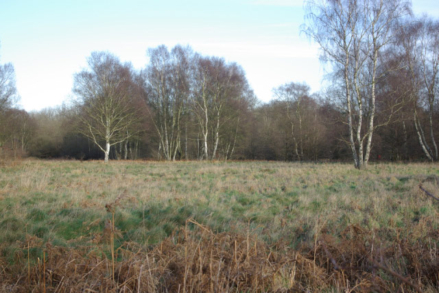
At Knettishall you'll find 430 acres of woodland and riverside meadows, as well as large areas of heath.
The park has a number of lovely woodland and heathland footpaths with views of the Little Ouse River.
Knettishall Heath Country Park Ordnance Survey Map  - view and print off detailed OS map
Knettishall Heath Country Park Open Street Map  - view and print off detailed map
Knettishall Heath Country Park OS Map  - Mobile GPS OS Map with Location tracking
Knettishall Heath Country Park Open Street Map  - Mobile GPS Map with Location tracking
Further Information and Other Local Ideas
Head west and you could enjoy a pleasant waterside walk on the Thetford River Walk. You can also explore the expansive Thetford Forest in this area.
Cycle Routes and Walking Routes Nearby
Photos
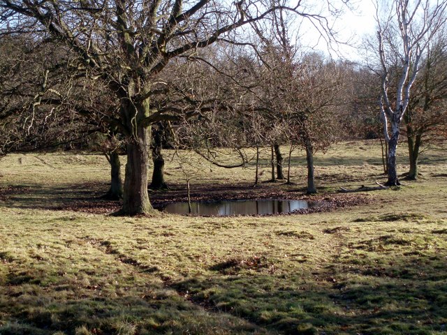
Dew Pond on Knettishall Heath. A small pond in the enclosure set aside for Exmoor Ponies on the heath.
River Little Ouse at Knettishall. The river passes under a bridge and then over this weir, adjacent to the car park at the country park.


