Linlithgow Canal Walk
![]()
![]() This walk in West Lothian takes you along a section of the Union Canal from Linlithgow to the Muiravonside Country Park.
This walk in West Lothian takes you along a section of the Union Canal from Linlithgow to the Muiravonside Country Park.
It's just over a 3 mile walk along the flat towpath to the park which lies just to the west of the town. The 170 acre park is one of the area highlights and includes views of the River Avon gorge and the historic Avon Aqueduct.
You can start the walk from just south of the train station. Along the way you will pass a series of old bridges and enjoy some fine views of the surrounding countryside. You may also see some cyclists as the towpath is open to bikes too.
The area is also home to the Linlithgow Canal Centre which includes an interesting museum where you can learn all about the history of the canal. There's also a nice tea room for refreshments, relaxing boat trips and boat hire.
To continue your walking in the area head to Linlithgow Loch where there are more lovely waterside paths to try.
Postcode
EH49 6AJ - Please note: Postcode may be approximate for some rural locationsLinlithgow Canal Walk Ordnance Survey Map  - view and print off detailed OS map
Linlithgow Canal Walk Open Street Map  - view and print off detailed map
Linlithgow Canal Walk OS Map  - Mobile GPS OS Map with Location tracking
Linlithgow Canal Walk Open Street Map  - Mobile GPS Map with Location tracking
Further Information and Other Local Ideas
Just to the south is the lovely Beecraigs Country Park. Here you can try the Lochcote Reservoir and Cockleroy Hill Walk and enjoy some splendid views over the Bathgate Hills. The fascinating ancient henge at Cairnpapple Hill can also be located in this area.
Cycle Routes and Walking Routes Nearby
Photos
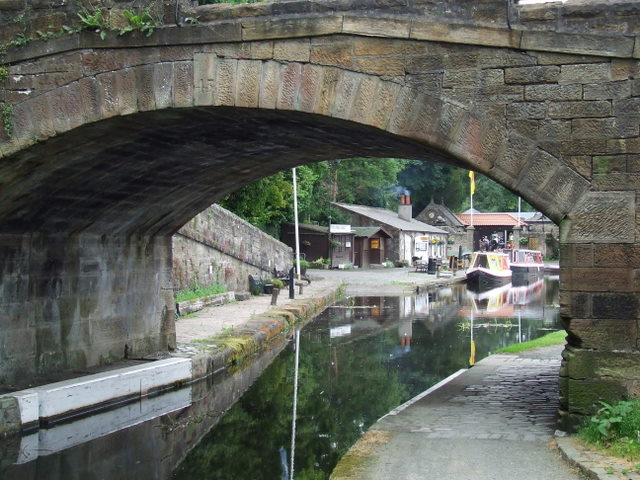
Linlithgow canal basin. On the Union Canal, just behind the railway station. Noote the tow rope scores on the bridge wall
Union Canal - Cadgers Brae Brig. Although the road is now known as Friars Road, its earlier name was Cadgers Brae, a cadger being a travelling salesman. Local lore suggests that the name was changed to appease the sensibilities of the local toffs who objected to the name "Cadger" with its connotations of begging.
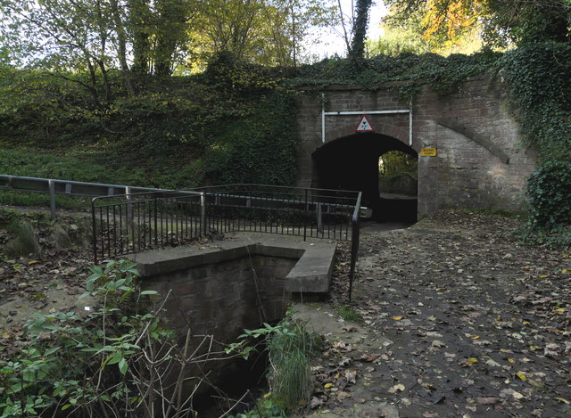
Preston Road Brig. Originally the bridge was of the same style as most of the others. When the canal was closed to traffic, the bridge was demolished and the canal put in a pipe. With renewed interest in the canal, the bridge was rebuilt so that boats could once again use the waterway.
Looking along the Avon Aqueduct on the Union Canal. At 250 metres long and 26 metres high the Avon Aqueduct is the longest and highest aqueduct in Scotland, and the second longest in Britain. At the time of its building it was unusual in that it utilised an iron trough to carry the water, rather than heavy masonry.


