Litton Mill
5.6 miles (9 km)
![]()
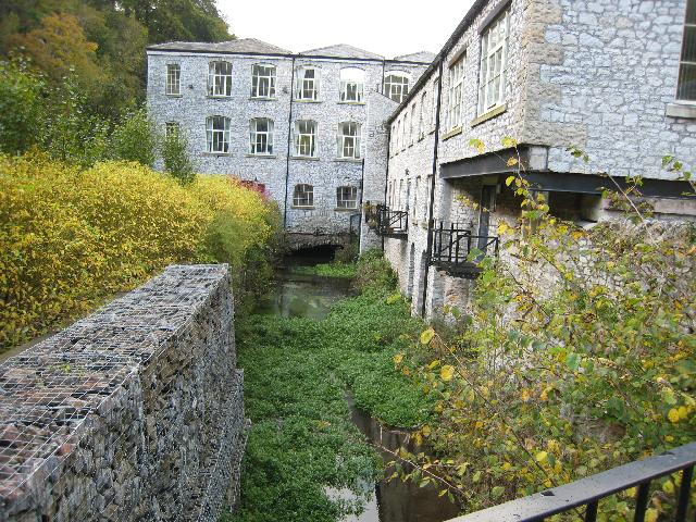
![]() This circular walk visits the historic Litton Mill near Tideswell in the Derbyshire Dales.
This circular walk visits the historic Litton Mill near Tideswell in the Derbyshire Dales.
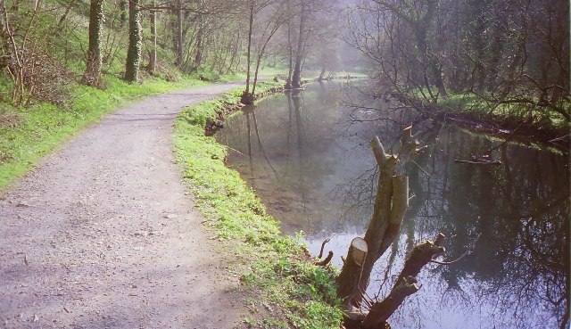
The impressive mill dates from the 18th century and was powered by the River Wye which runs through the area. There's lovely river walks to enjoy through the surrounding dales in this beautiful part of the Peak District.
At the mill you can pick up the Monsal Trail and follow the path east past Miller's Dale and Cressbrook Dale to Monsal Head.
You then head through Monsal Dale before turning north west through Taddington Dale to Brushfield. The final section takes you through High Dale to return to the mill.
Postcode
SK17 8SW - Please note: Postcode may be approximate for some rural locationsLitton Mill Ordnance Survey Map  - view and print off detailed OS map
Litton Mill Open Street Map  - view and print off detailed map
Litton Mill OS Map  - Mobile GPS OS Map with Location tracking
Litton Mill Open Street Map  - Mobile GPS Map with Location tracking
Further Information and Other Local Ideas
For more walking ideas in the area see the Peak District Walks and White Peak Walks pages.


