Polkemmet Country Park
![]()
![]() Enjoy beautiful woodland and riverside walks in this 168 acre country park near Whitburn. There are a number of walking trails taking you through the woodland and along the River Almond which runs through the park. There is also an abundance of wildlife - look out for Roe deer, fox, heron, water voles, bats and badgers.
Enjoy beautiful woodland and riverside walks in this 168 acre country park near Whitburn. There are a number of walking trails taking you through the woodland and along the River Almond which runs through the park. There is also an abundance of wildlife - look out for Roe deer, fox, heron, water voles, bats and badgers.
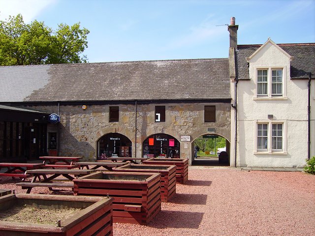
Facilities in the park are very good with a visitor centre housed in the old stables. Here you will find a wealth of information about the area and a cafe. Polkemmet also contains a nine hole golf course and driving range.
The park is located between Livingston and Airdrie.
Just to the north of the park you can pick up the Airdrie to Bathgate Cycle Path. This shared cycling and walking route could be followed west along a disused railway line to visit the pretty Hillend Reservoir.
Polkemmet Country Park Ordnance Survey Map  - view and print off detailed OS map
Polkemmet Country Park Open Street Map  - view and print off detailed map
Polkemmet Country Park OS Map  - Mobile GPS OS Map with Location tracking
Polkemmet Country Park Open Street Map  - Mobile GPS Map with Location tracking
Further Information and Other Local Ideas
In nearby Cumbernauld there's the splendid Palacerigg Country Park, Fannyside Lochs and Broadwood Loch to explore. Just a few miles to the west there's some nice trails along Forrestburn Reservoir and Roughrigg Reservoir where there's a circular walk along the grassy paths of the old railway track.
Cycle Routes and Walking Routes Nearby
Photos
Polkemmet Country Park, former stable block of Polkemmet House. Near Whitburn, West Lothian, Scotland.
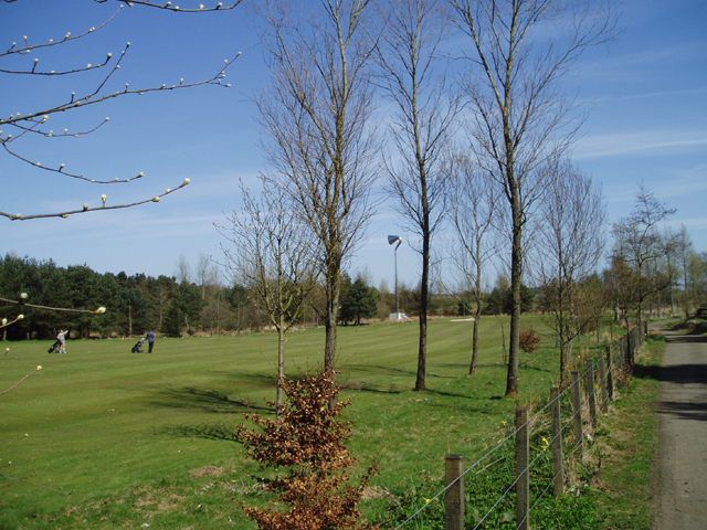
This beautiful Country Park which is very well used was created by the local council after they took control of the area in 1978. It is 169 acres in size and includes a restaurant, Way Marked Trails, Picnic Areas, Golfing Range and a nine hole Golf Course which can be seen in my photo. The busy M8 Motorway is on the other side of the trees on the left and the Polkemmet Horn can also be seen in the middle distance and is a well known Landmark seen from the Motorway.


