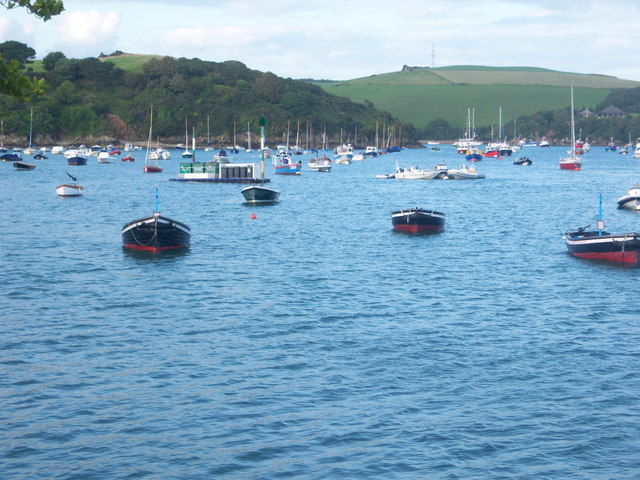
Salcombe and Kingsbridge Estuary
![]()
![]() Enjoy a walk along the beautiful Salcombe and Kingsbridge Estuary Nature Reserve on this walk in Devon.
Enjoy a walk along the beautiful Salcombe and Kingsbridge Estuary Nature Reserve on this walk in Devon.
Start your walk from the car park at Lincombe Cross just to the north east of Salcombe. From here you can pick up footpaths along the estuary to Tosnos Point and Snapes Point at the southern end. Reed beds, mudflats and eelgrass beds all help to support an abundance of wildlife on the estuary. Look out for dolphins, seals, basking sharks and a variety of wading birds as you make your way along the paths.
To continue your walking in the area you could try our Salcombe and Bolt Head Circular Walk which visits some lovely cliff tops and woodland near the town.
Heading north will take you to the town of Kingsbridge itself, where there are nice footpaths to follow from the town to the delightful Bowcombe Creek.
You can also catch the ferry over the estuary from Salcombe to East Portlemouth and follow the coast path to Prawle Point, the southernmost point of Devon.
Salcombe and Kingsbridge Estuary Ordnance Survey Map  - view and print off detailed OS map
Salcombe and Kingsbridge Estuary Open Street Map  - view and print off detailed map
Salcombe and Kingsbridge Estuary OS Map  - Mobile GPS OS Map with Location tracking
Salcombe and Kingsbridge Estuary Open Street Map  - Mobile GPS Map with Location tracking
Pubs/Cafes
The historic Ferry Inn is a fine place to enjoy refreshments after your walk. It's the most famous and oldest pub in Salcombe dating from 1739 when it was called "the commercial inn". They have a wonderful outdoor area where you can enjoy your meal with views over Salcombe Harbour to the surrounding countryside. You can find the inn on Fore Street with a postcode of TQ8 8ET for your sat navs.
Dog Walking
It's a nice place to bring your dog for a walk and the Ferry Inn mentioned above is also dog friendly.
Further Information and Other Local Ideas
The South West Coast Path runs through Salcombe. You could pick up the epic trail and head west to visit Bolberry Down and the secluded beach at Soar Mill Cove.
At East Portlemouth you can pick up the circular Gara Rock Walk from the public car park. This area includes a fine cliff top hotel and a lovely secluded beach which you can access on a steep slope.
A few miles to the north there's the worthy village of Loddiswell where you can enjoy some fine trails through the River Avon Valley. The village includes an historic 14th century church and the old Loddiswell Railway Station as well. Near here there's the pretty riverside village of Aveton Gifford and the climb to the viewpoint and Iron Age Hillfort at Blackdown Rings.
For more walking ideas in the area see the Devon Walks page.
Cycle Routes and Walking Routes Nearby
Photos
Salcombe Ferry. Jetty on Salcombe/Kingsbridge Estuary. The view from the Ferry Inn and Ferry Jetty in Salcombe on the estuary.
A view through a gateway on the lane from Kingsbridge to Collapit. The field of greens slopes down towards the estuary. The houses to the left on the far side are in SX7443; to the right of the barn they are in SX7442, a square which also covers High House Point and the junction of the two northern arms of the estuary.
Salcombe Harbour. Looking east-south-east near the lifeboat station. Kingsbridge Estuary runs north and is hidden by the tree-covered Snapes Point, left


