Saunderton Circular Walk
![]()
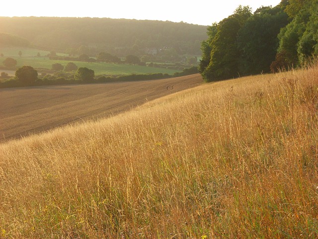
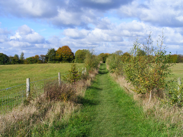
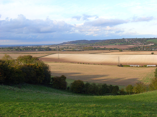
![]() This Buckinghamshire based village is well served by a series of footpaths running into the glorious rolling Chilterns countryside.
This Buckinghamshire based village is well served by a series of footpaths running into the glorious rolling Chilterns countryside.
This figure of eight loop walk takes you to some of the walking highlights of the area.
The route starts from the train station and first heads south to visit the National Trust's West Wycombe Park where there's lakes, parkland and gardens surrounding a historic mansion. You then turn north to explore the expansive Bradenham Woods where you'll find miles of peaceful woodland walks.
The northern section of the loop takes you to the woodland and viewpoints at Chinnor Hill which lies a few miles north west of the settlement. In this area you can pick up The Ridgeway National Trail. The final section visits the neighbouring village of Bledlow Ridge which lies just a mile west of the train station.
Postcode
HP14 4HU - Please note: Postcode may be approximate for some rural locationsSaunderton Ordnance Survey Map  - view and print off detailed OS map
Saunderton Open Street Map  - view and print off detailed map
Saunderton OS Map  - Mobile GPS OS Map with Location tracking
Saunderton Open Street Map  - Mobile GPS Map with Location tracking
Walks near Saunderton
- Bradenham Woods - This circular walk explores the woodland and countryside surrounding the pretty village of Bradenham in the Chilterns
- Hughenden Manor Park - The 1,500 acres of parkland surrounding the red brick Victorian mansion of Hughenden Manor is great for a short walk in lovely surroundings
- West Wycombe Park - Explore the beautiful estate surrounding West Wycombe House on this walk in the Chilterns AONB
- High Wycombe - This large Buckinghamishire town is a great place to go for a country walk with some several attractive woodland areas, views of the Chiltern Hills and the wonderful Hughenden Park to enjoy
- Bledlow Ridge - This Buckinghamshire based village has some fine country walks into the surrounding Chiltern Hills
- Princes Risborough - This Buckinghamshire based town is in a great location for exploring the beautiful Chiltern Hills AONB.
This walk from the town's train station takes you to some of the highlights of the area - Downley Common - This walk visits Downley Common next to the Buckinghamshire village of Downley in the Chilterns near High Wycombe.
- Stokenchurch - This Buckinghamshire based village has some lovely trails to follow through the surrounding Chilterns countryside
- Aston Rowant Nature Reserve - Enjoy a circular walk around this wonderful nature reserve in the Chilterns and climb Beacon Hill on the way
Pubs/Cafes
After your exercise head to the Golden Cross for some well earned relaxation and refreshment. They have a great menu and a really lovely garden area for warmer days. You can find them at Wycombe Rd, HP14 4HU.
Dog Walking
The woodland and countryside trails are ideal for dog walking. The Golden Cross mentioned above is also dog friendly.
Further Information and Other Local Ideas
For more walking ideas in the area see the Chilterns Walks page.


