Tennant Canal Walk
8.7 miles (14 km)
![]()
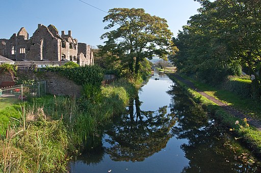
![]() This walk visits the Tenant Canal in Aberdulais, near Swansea. The canal is a pleasant place for an easy waterside stroll with pretty villages, historic sites and lovely countryside to see on the way.
This walk visits the Tenant Canal in Aberdulais, near Swansea. The canal is a pleasant place for an easy waterside stroll with pretty villages, historic sites and lovely countryside to see on the way.
The walk starts off at the car park at the Aberdulais Lock and Aqueduct at the eastern end of the canal. From here you can pick up the footpath heading west through the Vale of Neath to Neath where you will find the ruins of the ancient Cistercian monastery.
You continue south west past the Crymyln Bog to the finish point at Porth Tennant, on the eastern side of the city of Swansea.
To continue your waterside walking you can pick up the Neath Canal at the eastern end of the route. This will take you east towards Resolven and Glynneath.


