Tywi Valley Walk
![]()
![]() This walk explores the Tywi Valley and forest in the Cambrian Mountains.
This walk explores the Tywi Valley and forest in the Cambrian Mountains.
The route runs from Llyn Brianne to Dolgoch, passing along the River Towy with waterfalls and wonderful mountainous scenery to enjoy.
The walk starts from the car park at the northern end of Llyn Brianne but there is also a car park at Dolgoch if you would like to start from there.
Follow trails north from the lake and they will take you along river as it feeds into the lake. You'll pass along the edge of the Tywi Forest where you can enjoy some peaceful woodland trails to the east of the river. The forest is a good place for wildlife with plenty of birds and the popular red squirrels to look out for.
Tywi Valley Ordnance Survey Map  - view and print off detailed OS map
Tywi Valley Open Street Map  - view and print off detailed map
*New* - Walks and Cycle Routes Near Me Map - Waymarked Routes and Mountain Bike Trails>>
Tywi Valley OS Map  - Mobile GPS OS Map with Location tracking
Tywi Valley Open Street Map  - Mobile GPS Map with Location tracking
Further Information and Other Local Ideas
To the east you can visit the Devil's Staircase in the Abergwesyn Pass. The spectacular mountain pass is a fine place for a walk or challenging cycle along the scenic winding road.
Cycle Routes and Walking Routes Nearby
Photos
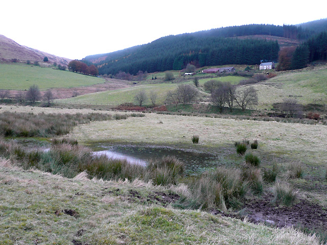
Afon Tywi feeding Llyn Brianne. A short distance north of this scene, the river feeds the reservoir after having lime added to its water at a weir a mile away. The cilycwm.com website gives this information: Llyn Brianne reservoir was originally built (1968-1972) to satisfy the growing demands of heavy industry in and around Swansea for water, notably the tin plate works at Felindre and a smelting plant at Llansamlet. Ironically, both these have since closed down and water from Llyn Brianne which is surplus to the Swansea area's needs now goes into the general supply, quenching thirsts all the way from Llanelli, across West and South Wales and as far East as Cardiff.
Tywi Valley In the foreground is the bridge at SN 803572, where the forestry track to Dolgoch Youth Hostel leaves the Tregaron-Abergwesyn mountain road. The burnt out ruin of Nantyrhwch visible at the base of the forest has not been occupied since the early 1990s. update: Will be closed mid October 2009 until early spring 2010 for building work.


