Warminster Walks
![]()
![]() The Wiltshire based town of Warminster is in an ideal location for exploring the lovely Cranborne Chase AONB and the expansive Salisbury Plain. There's also two popular long distance trails to pick up and two interesting hill forts to visit.
The Wiltshire based town of Warminster is in an ideal location for exploring the lovely Cranborne Chase AONB and the expansive Salisbury Plain. There's also two popular long distance trails to pick up and two interesting hill forts to visit.
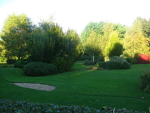
This short circular walk around the town takes you around the Smallbrook Meadows Nature Reserve and the Lake Pleasure Grounds in the town centre. It's a delightful area with riverside paths along the River Were and the River Wylye. There's also six small water meadows, wet woodland, marsh, ponds, chalk rivers, hedgerows and ditches. Look out for wildlife including kingfishers and water voles.
To continue your walking around the town head west and enjoy a climb to Cley Hill. There's fine views over the town and surrounding countryside from here. The delightful Heaven's Gate at Longleat and the pretty Shearwater Lake also provide more fine walking opportunities near the town.
Warminster Ordnance Survey Map  - view and print off detailed OS map
Warminster Open Street Map  - view and print off detailed map
Warminster OS Map  - Mobile GPS OS Map with Location tracking
Warminster Open Street Map  - Mobile GPS Map with Location tracking
Walks near Warminster
- Salisbury Plain - This walk explores a section of the ancient Salisbury Plain with its chalk grassland, fascinating historical sites and wide ranging views
- Cley Hill - Climb this distinctive hill in Warminster and enjoy wonderful views over West Wiltshire and Somerset
- Shearwater Lake - Enjoy an easy waterside walk along this pretty lake on the Longleat Estate
- Heaven's Gate Longleat - Enjoy wonderful views over the Longleat Estate and the surrounding Wiltshire countryside on this short walk near Warminster
- Mid-Wilts Way - A 68-mile walking route that takes in some of Wiltshire's finest countryside and downland areas
- Land's End Trail - This terrific trail runs for over 300 miles from Avebury in Wiltshire, through Devon and Somerset to Land's End in Cornwall
- Westbury White Horse - Climb to Westbury Hill and visit the Westbury White Horse on this circular walk near Bratton in Wiltshire
- Imber Range Perimeter Path - This circular walking path takes you around the perimeter of a military training firing range located on Salisbury Plain
- Wylye Way - Follow the River Wylye through Wiltshire on this interesting and varied waterside walk
- Mere - This delightful Wiltshire based town is a fine place to start a walk with miles of trails to explore the surrounding downland and farmland of the Cranborne Chase and West Wiltshire Downs Area of Outstanding Natural Beauty.
- Stourhead - The 1,072 hectare (2,650 acre) Stourhead estate has miles of lovely walking trails to try. You can follow the well surfaced footpaths around the stunning lake and into the surrounding woodlands, parkland and gardens
- White Sheet Hill - Climb to the 245 m (804 ft) summit of this hill in Wiltshire and enjoy wonderful views over the Stourhead Estate and the surrounding countryside
- Battlesbury Hill - This walk takes you to an ancient Hillfort and viepwoint in Warminster.
Pubs/Cafes
After your walk we recommend heading to the Rose & Crown pub for refreshments. There's bar games, a good menu and a nice beer garden to sit out in during the summer months here. You can find it at 57 East St, with postcode: BA12 9BZ.
Also of note is the The George Inn at the village of Longbridge Deverill. The main attraction here is the lovely riverside garden, next to the River Wylye. You can find it at postcode BA12 7DG.
Dog Walking
Dogs on leads are welcome in the reserve.
Further Information and Other Local Ideas
The Mere Walk starts from the attractive nearby town and climbs to White Sheet Hill. The hill is part of the splendid Stourhead and includes an Iron Age Hillfort, an aerial transmitter and a small reservoir. There's also some lovely downland and excellent views over the area. The town itself is also worth visiting with a photogenic market square, the excellent viewpoint at Long Hill and a fine 16th century coaching inn for refreshment afterwards.
For more walking ideas in the area see the Wiltshire Walks and the Cranborne Chase Walks pages.


