Blackheath Common
![]()
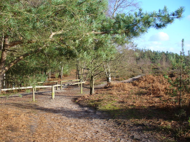
![]() This large area of heathland and woodland near Albury is very popular with walkers and cyclists. There's 250 acres to explore on a myriad of footpaths and bridleways. The area consists of lowland heathland, woodland and acid grassland.
This large area of heathland and woodland near Albury is very popular with walkers and cyclists. There's 250 acres to explore on a myriad of footpaths and bridleways. The area consists of lowland heathland, woodland and acid grassland.
You can park at the Blackheath car park on Blackheath Lane to start your circular walk across the common. Chilworth railway station is also just to the north of the common. This is another good start point if you are coming by public transport. The paths then take you across the common and through Blackheath Forest. There's some nice sandy paths and lots of pretty heather to look out for in the late summer.
It's easy to extend your walking in this lovely area. You can follow the Downs Link to St Martha's Hill. It's a couple of miles to the north of the common with the path passing Chilworth Manor on the way. From the 574 feet (175 m) hill summit there are great views over the North Downs.
Other footpaths head north east from the common taking you to Albury Park. The 150 acre estate includes parkland, woodland and pretty lakes.
Postcode
GU4 8RB - Please note: Postcode may be approximate for some rural locationsBlackheath Common Ordnance Survey Map  - view and print off detailed OS map
Blackheath Common Open Street Map  - view and print off detailed map
Blackheath Common OS Map  - Mobile GPS OS Map with Location tracking
Blackheath Common Open Street Map  - Mobile GPS Map with Location tracking
Further Information and Other Local Ideas
Just north of the common you can pick up the Chilworth Gunpowder Mills Walk. This historical trail takes you along the River Tillingbourne to the ruins of several old Gunpowder Mills. The mills were originally established in 1625 by the East India Company and became an important supplier of gunpowder to the Government during the 17th, 18th and 19th centuries. It's an impressive sight with a number of buildings to explore and informations boards detailing the history of the area. You can access the trail about a mile north of the common on Blacksmith Lane at a postcode of GU4 8NQ.
Just to the west is the lovely nature reserve at Chinthurst Hill. The reserve is run by Surrey Wildlife Trust and includes a 1930s hill top folly, woodland trails, a fine country house, a viewpoint toposcope and lots of interesting flora and fauna.
Godalming Walk starts from the nearby town and visits the common as well as some of the other local walking highlights.
For more walking ideas in the area see the Surrey Walks, Surrey Hills Walks and North Downs Walks pages.


