Hardknott Pass Cycling
![]()
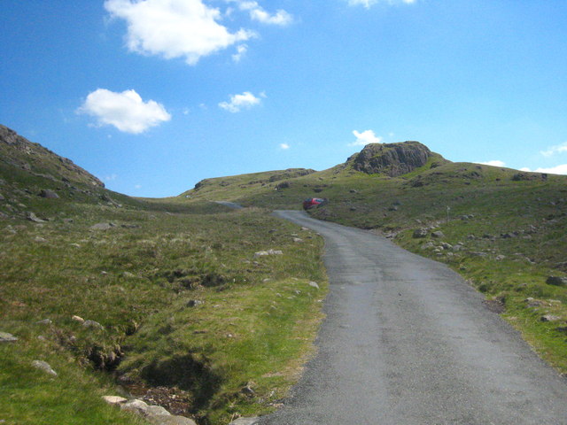
![]() Tackle one of Britain's toughest climbs on this spectacular cycle ride in the Lake District. Hardknott Pass shares the title of steepest road in England along with Rosedale Chimney Bank in North Yorkshire.
Tackle one of Britain's toughest climbs on this spectacular cycle ride in the Lake District. Hardknott Pass shares the title of steepest road in England along with Rosedale Chimney Bank in North Yorkshire.
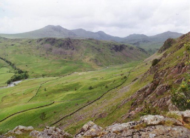
This ride starts in the village of Grasmere and heads around the lake towards Eltwerwater before heading into Great Langdale. You pass Lingmoor Fell and Blea Tarn before beginning a steep ascent through Wrynose Pass to Hardknott Pass where you will pass the Hardknott Roman Fort. You then descend into Eskdale, passing along the River Esk before finishing at Eskdale Green. It's an extremely tough ride but with stunning views of the Lake District mountains throughout.
If you would like to shorten the ride you could park at Blea Tarn car park and cycle to Hardknott Pass from there.
Hardknott Pass Ordnance Survey Map  - view and print off detailed OS map
Hardknott Pass Open Street Map  - view and print off detailed map
Hardknott Pass OS Map  - Mobile GPS OS Map with Location tracking
Hardknott Pass Open Street Map  - Mobile GPS Map with Location tracking
Pubs/Cafes
On the road you will find the noteworthy Woolpack Inn which is a fine place to go for some refreshments after your walk. The inn also contains the Hardknott Cafe. It's located at the top of one of England’s most dramatic valleys, and the bottom of one of its most exciting roads – the Hardknott Pass. The inn has a good menu with cosy fires indoors to warm yourself next to. There's also a nice outdoor area for the summer and it is dog friendly too. You can find the pub on the pass at a postcode of CA19 1TH for your sat navs.
The route finishes in the worthy village of Eskdale Green. The pretty settlement includes a tarn, woods, a Japanese Garden, riverside trails and two fine historic pubs. There's also Eskdale Green station or Irton Road Station on the heritage Ravenglass and Eskdale Railway here.
Cycle Routes and Walking Routes Nearby
Photos
Woolpack Inn and Hardknott Brewery. Situated at the western end of the Hardknott Pass, the Woolpack Inn sells beers from its own brewery. There were two real ales on handpump when I visited both with very distinctive flavours; a very light pale ale with a strong hoppy bitterness and a slightly darker ale with strong peaty characteristics - flavours owing much no doubt to the local water used.


