National Cycle Route 67
![]()
![]() This signed Sustrans Cycle Route runs between Long Eaton to Markington via Chesterfield, Sheffield, Barnsley, Harrogate and Leeds.
This signed Sustrans Cycle Route runs between Long Eaton to Markington via Chesterfield, Sheffield, Barnsley, Harrogate and Leeds.
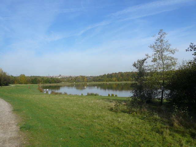
Route highlights include traffic free waterside sections along the Chesterfield Canal, the lovely lakes at Rother Valley Country Park and Shipley Country Park and along the River Aire into Leeds. At the start there's also the off road Nutbrook Trail along the Erewash Canal.
Between Chesterfield and Leeds you will follow an off road part of the epic Trans Pennine Trail.
There's another long traffic free section along the Dove Valley Trail in the Barnsley area.
The Wetherby to Spofforth Castle section runs along the Harland Way. This is also traffic free and uses another disused railway line.
Please Note: the section between Heanor and Tibshelf uses and approximation of future Sustrans routes. This is to create a complete linear route - some parts of this section you may need to dismount your bike and walk. This is also true of the area around Grassmoor Country Park in Chesterfield and the section between Leeds and Bramham.
See the list below for manageable day rides along the route:
Cycle Routes on National Cycle Route 67
- Nutbrook Trail - This easy cycling and walking trail runs from Long Eaton to Heanor along the Erewash Canal and a dismantled railway line
- Chesterfield to Sheffield - This is a nice route that follows the Trans Pennine Trail from Chesterfield to Sheffield
- Chesterfield to Alfreton - Follow the trail on this lovely largely off road route through Derbyshire
- Five Pits Trail - This is a super off road cycling and walking trail running from Grassmoor Country Park to Tibshelf
- Sheffield to Barnsley - This route follows the Trans Penine Trail and National Cycle routes 6, 67 and 62 to Barnsley from Sheffield.
You start near the cathedral in Sheffield and follow National Cycle Route 6 to Meadowhall along the River Don - Leeds to Barnsley - Follow the Trans Penine Trail and the trail from the city of Leeds to its nearby neighbour Barnsley
- The Castleford Greenway will take you from Wakefield to Castleford along the old railway line and route 67. The surfaced path makes for a safe, easy cycle or walk in the area.
- Wetherby to Spofforth Castle - Follow the Wetherby Railway Path from Wetherby to Spofforth on this easy walk or cycle in Yorkshire
- Dove Valley Trail - a lovely traffic free ride along a disused railway line between Wombell and Silkstone Common.
National Cycle Route 67 Ordnance Survey Map  - view and print off detailed OS map
National Cycle Route 67 Open Street Map  - view and print off detailed map
National Cycle Route 67 OS Map  - Mobile GPS OS Map with Location tracking
National Cycle Route 67 Open Street Map  - Mobile GPS Map with Location tracking
Further Information and Other Local Ideas
The route links with:
National Cycle Route 6 at Long Eaton
National Cycle Route 62 around Eckington.
Wakefield Wheel and National Cycle Route 69 in the Wakefield area.
National Cycle Route 66 in Leeds.


