Blakey Ridge
![]()
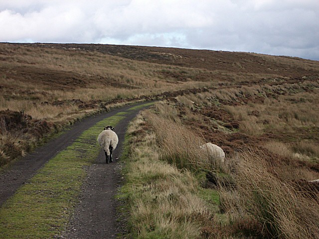
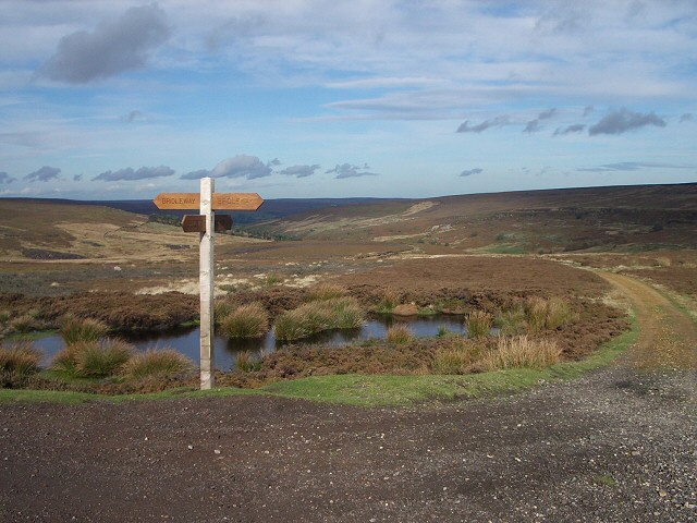
![]() This circular walk explores Blakey Ridge in Rosedale. The ridge reaches a height of over 1,300 feet (400 m), commanding fine views over the North York Moors. After visiting the ridge the walk explores the surrounding moors. It's about a 12 mile hike with the majority of the route taking place on elevated paths over 1200ft above sea level. As such there's wonderful moorland views to enjoy for the majority of the walk.
This circular walk explores Blakey Ridge in Rosedale. The ridge reaches a height of over 1,300 feet (400 m), commanding fine views over the North York Moors. After visiting the ridge the walk explores the surrounding moors. It's about a 12 mile hike with the majority of the route taking place on elevated paths over 1200ft above sea level. As such there's wonderful moorland views to enjoy for the majority of the walk.
Start the walk from the parking area on Stepin Turn, just to the south of the ridge summit. Follow the road north past the Lion Inn and you will soon come to a footpath on your left leading up to the summit.
The route then crosses High Blakely Moor, Farndale Moor and Middle Head before coming to Bloworth Crossing. Here you turn south, following a track past Bloworth Wood before turning east toward Church Houses. The final section follows country lanes back to the car park.
After your walk you can enjoy refreshments at the splendid Lion Inn pub.
At Church Houses you will pass the northern edge of the Farndale Daffodil Walk. The 'wild' daffodils of Farndale are very well known and attract large numbers of visitors in the spring. The River Dove also runs through the area with the pretty daffodils lining the riverbank.
Blakey Ridge Ordnance Survey Map  - view and print off detailed OS map
Blakey Ridge Open Street Map  - view and print off detailed map
Blakey Ridge OS Map  - Mobile GPS OS Map with Location tracking
Blakey Ridge Open Street Map  - Mobile GPS Map with Location tracking
Pubs/Cafes
The Lion Inn is one of the most significant pubs in the country and well worth some investigation. The historic pub dates from the 16th century and is located at the highest point on the North York Moors. It stands at an impressive elevation of 1,325 feet offering breathtaking views over the valleys of Rosedale and Farndale. There's a cosy interior with ancient fireplaces, low beamed ceilings and a good selection of ales. Outside there's a beer garden with terrific views, ideal for a warm summer day. The pub is also dog friendly. You can find the pub at postcode YO62 7LQ for your sat navs.
For something less dramatic you could head to south east to the village of Rosedale Abbey and visit the delightful Abbey Tea Rooms. There's outdoor seating overlooking the pretty village green if the weather is good. They serve Breakfasts, Lunches, a selection of Cakes and Scones and Afternoon Tea's. It's a friendly place which also includes a store for supplies. You can find the tea room at postcode YO18 8SA.


