Chester-le-Street Walks
![]()
![]() This pleasant circular walk in the town of Chester-le-Street visits the riverside gardens and Lumley Castle.
This pleasant circular walk in the town of Chester-le-Street visits the riverside gardens and Lumley Castle.
You can start the walk from the parking area at the riverside park, just to the east of the city centre. You could also start from the train station and walk a short distance through the town to the river.
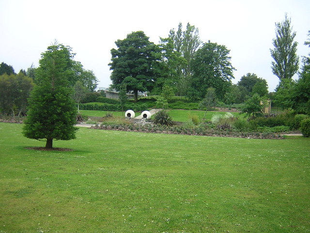
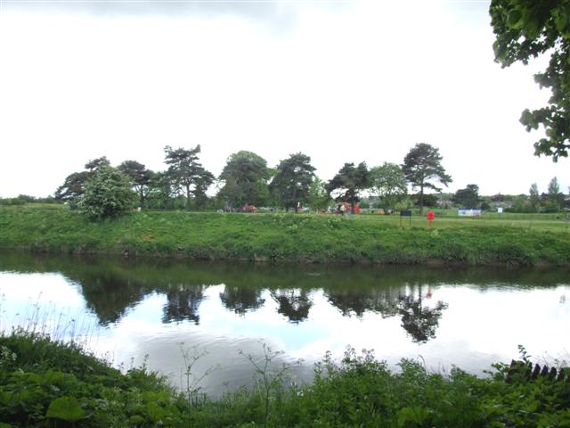
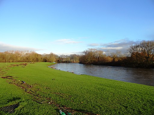
In the pretty park there are wildflower meadows, sculptures, artist-designed ornamental gardens, a cafe and nice riverside footpaths. After exploring the park, cross Lumley Bridge and pick up the Weardale Way which will take you along the River Wear to Lumley Castle.
The impressive 14th-century quadrangular castle is now a hotel where you could enjoy a nice cream tea before continuing your walk.
After leaving the castle the route heads through the golf course to return to the river and the finish point at the car park.
You can continue your walking along the Weardale Way on the Chester Le Street to Durham Walk which will take you to the historic Finchale Abbey and the famous cathedral city.
Chester-le-Street Ordnance Survey Map  - view and print off detailed OS map
Chester-le-Street Open Street Map  - view and print off detailed map
*New* - Walks and Cycle Routes Near Me Map - Waymarked Routes and Mountain Bike Trails>>
Chester-le-Street OS Map  - Mobile GPS OS Map with Location tracking
Chester-le-Street Open Street Map  - Mobile GPS Map with Location tracking
Walks near Chester-le-Street
- Waldridge Fell Country Park - Enjoy fantastic views of the surrounding countryside in this country park in Chester-le-Street
- Great North Forest Heritage Trail - This circular cycle and walking route takes you through the countryside of this former mining area in Tyne and Wear
- Consett and Sunderland Railway Path - A walk or cycle along a disused railway path from Consett to Sunderland
- Weardale Way - Follow the River Wear from the coast at Sunderland to Killhope Lead Mining Museum in the Pennines
- Allensford Country Park - Enjoy riverside woodland walks and magnificent views of the Derwent Valley in this country park near Consett
- Hetton Lyons Country Park - Enjoy a walk or cycle around this attractive country park in Hetton-Le-Hole
- Penshaw Monument - Climb Penshaw Hill and visit this iconic Sunderland landmark on this short walk in Tyne and Wear
- James Steel Park - Enjoy riverside walking and cycling in this country park situated on the River Wear in Washington, Sunderland
- Finchale Abbey - This walk visits the ancient Finchale Abbey in Framwellgate Moor, County Durham
- Rainton Meadows - This walk visits the Rainton Meadows Nature Reserve near West Rainton and Houghton le Spring, County Durham.
Pubs/Cafes
The Butchers Arms has a good selection of real ales and a garden area. You can find them at postcode DH3 3QD for your sat navs. They are also dog friendly.
Further Information and Other Local Ideas
The Sunderland Walk explores Roker Beach and the harbour at the mouth of the River Wear.
If you follow the Weardale Way south for a few miles you could visit one of the area's historic highlights at Finchale Abbey. Here you can explore the photogenic ruins of the ancient abbey which dates back to the 13th century. The Grade I listed priory site is run by English Heritage and includes woodland and riverside walks.
For more walking ideas in the area see the County Durham Walks page.
Photos
Aerial view of Chester Burn Railway Viaduct, Chester-le-Street. This viaduct is located to the northwest of the town centre and was completed in 1868 for the North Eastern Railway, to enable trains to travel at high speed on a more direct route between Newcastle and Durham. It is over 230m long with 11 arches, now spanning a road and supermarket car-park, and is a Grade II listed structure.
The Queens Head Hotel An old Coaching Inn. The Queens Head Hotel is an old established coaching inn, referred to in an indenture of 1777, sharing in the great historical past of the old Northumbrian town of Alnwick with its many traditional trades and crafts, regulary meeting at the old shambles buildings opposite. The Queens Head has always been a regular stopping off point for travellers on the Great North Road and continues the tradition of providing good food, beers and accommodation.


