Godshill New Forest Walks
![]()
![]() This New Forest village is a fine place to start a walk with a number of great local trails and a fine local pub to relax in after your exercise.
This New Forest village is a fine place to start a walk with a number of great local trails and a fine local pub to relax in after your exercise.
It's well located for visitors to the Sandy Balls holiday, camping and caravan park which lies just to the west.
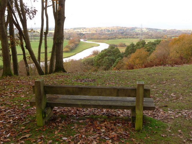
This circular walk starts from the village and takes you north to explore the woodland trails in the Godshill Inclosure. You can follow footpaths north west to Godshill Wood where you can pick up the Avon Valley Path and follow it north east to the Castle Hill viewpoint. There's seats to rest and look out across the floodplain of the River Avon here.
The route then follows footpaths through the inclosure where you can see some lovely rhododendrons. From here you then head south to Densome Corner, Millersford Bottom and Gravel Pit Hill. The final section then takes you through the Godshill Ridge, passing the Pottery before returning to the village.
Around the Ridge you can pick up the Ashley Walk which begins at the car park on Roger Penny Way, just north east of Godshill. It's a pleasant area to extend your walk with fine heathland trails and evidence of the old WW2 testing site still in existence.
Postcode
SP6 2LL - Please note: Postcode may be approximate for some rural locationsGodshill Ordnance Survey Map  - view and print off detailed OS map
Godshill Open Street Map  - view and print off detailed map
Godshill OS Map  - Mobile GPS OS Map with Location tracking
Godshill Open Street Map  - Mobile GPS Map with Location tracking
Pubs/Cafes
Back in the village you can enjoy post walk rest and refreshment at the Fighting Cocks. The inn serves great homemade food which you can enjoy outside in the garden area. Careful the donkeys and ponies don't steal your food though as there are generally quite a few of them milling around the pub! You can find them on Southampton Road at postcode SP6 2LL for your sat navs.
Dog Walking
As you'd imagine the woodland and heathland trails are ideal for dog walking. The Fighting Cocks mentioned above is also dog friendly.
Further Information and Other Local Ideas
Just to the south you can pick up the Frogham to Fritham Circular Walk. It climbs to the the viewpoint on the Hampton Ridge before heading to the lovely Latchmore Brook and Hasley Hill Inclosure near Fordingbridge.
For more walking ideas in the area see the New Forest Walks page.
Cycle Routes and Walking Routes Nearby
Photos
Godshill village cricket pitch. The village cricket pitch is half a mile to the east of Godshill village, surrounded by the gorse and heather of the heathland. The fence keeps tourists and ponies off the wicket.
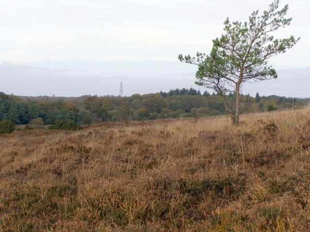
Heathland on Gravel Pit Hill. A rather scrawny pine tree has struggled to grow here on the heath on Gravel Pit Hill. In the distance are the trees of Millersford Copse and the pylons that cross Hale Purlieu.
Godshill Pottery, east of the village. The pottery is partly hidden in the shade of the trees to the north of the road, one of only a few buildings in this grid square. It is also just outside the true forest boundary, in Brune's Purlieu.
Track from Godshill Ridge to Cockley Hill. The track from the Ridge snakes down into the valley bottom, crosses Ditchend Brook, and (in the neighbouring grid square) climbs Cockley Hill. This area was part of the Ashley Walk range during the Second World War, and this track was one of the gravel roads to the target area around Leaden Hall.


