Moira Furnace Walks
![]()
![]() This attraction in Moira includes a 36 acre country park with walking and cycling trails along the Ashby Canal. The Iron furnace was built by the Earl of Moira in 1804, during the Industrial Revolution. It has since been preserved by North West Leicestershire District Council as a museum featuring lime kilns and craft workshops.
This attraction in Moira includes a 36 acre country park with walking and cycling trails along the Ashby Canal. The Iron furnace was built by the Earl of Moira in 1804, during the Industrial Revolution. It has since been preserved by North West Leicestershire District Council as a museum featuring lime kilns and craft workshops.
The circular walk starts at the Furnace car park and then follows the Ashby Canal south to Donisthorpe Woodland park. You can then pick up a section of the waymarked Ivanhoe Way to take you back towards the car park.
You can extend the walk by continuing north to Conkers Waterside park and the terminus of the canal where you'll find the National Forest visitor centre.
Postcode
DE12 6AT - Please note: Postcode may be approximate for some rural locationsPlease click here for more information
Moira Furnace Ordnance Survey Map  - view and print off detailed OS map
Moira Furnace Open Street Map  - view and print off detailed map
Moira Furnace OS Map  - Mobile GPS OS Map with Location tracking
Moira Furnace Open Street Map  - Mobile GPS Map with Location tracking
Walks near Moira Furnace
- Ashby Canal - Follow the Ashby-de-la-Zouch Canal from Bedworth in Warwickshire, to the little village of Snareston in Leicestershire
- Ashby Woulds Heritage Trail - This lovely short cycle and walking trail runs from Measham near Ashby-de-la-Zouch to Moira along a disused railway path
- Sence Valley Forest Park - Enjoy a series of lovely cycling and walking trails in this good sized country park near Ibstock
- National Forest Trail - Explore the National Forest in Leicestershire and Derbyshire on this super figure-of-eight cycle ride
- Swadlincote - The Derbyshire town of Swadlincote is located close to the borders with Leicestershire and Staffordshire
- Coalville - This Leicestershire based town is close to a number of peaceful woodland areas and an excellent viewpoint at the high point in the county.
- Hicks Lodge - Enjoy cycling and walking trails in this converted coal mining site in Ashby-de-la-Zouch.
- Grace Dieu Priory - This historic 13th century priory is located close to Coalville in North West Leicestershire.
- Mount St Bernard Abbey - Visit this Cistercian monastery near Coalville on this short walk
- Queen Elizabeth Diamond Jubilee Wood - This walk explores the Queen Elizabeth Diamond Jubilee Wood near Normanton Le Heath in the National Forest.
- National Forest Way - This splendid 75 mile walk runs from the National Memorial Arboretum in Staffordshire to Beacon Hill Country Park in Leicestershire.
Pubs/Cafes
There are a few nice shops and a good on site cafe selling a range of meals and snacks.
Dog Walking
The area is dog friendly with bins dotted around the site. The parkland and woodland paths are popular with dog walkers so you'll probably see other owners on your visit.
Further Information and Other Local Ideas
The Ashby Woulds Heritage Trail passes the site, providing an opportunity for further exploring this historic area. It additionally visits the Donisthorpe Colliery site exposing you to more of Moira's industrial heritage.
If you head north you could visit neighbouring Swadlincote and the lovely Bretby Park.
Less than half a mile to the east you'll find Hicks Lodge. This expansive area of woodland includes pleasant walking trails around several pretty ponds. There's also some excellent mountain bike trails to enjoy here.
Just to the south east you'll find more woodland trails and a series of pretty lakes at Queen Elizabeth Diamond Jubilee Wood and Sence Valley Forest Park on the outskirts of Coalville.
The National Forest Way passes through the area. The long distance trail takes you to several of the highlights of the National Forest area.
Just to the west there's the Rosliston Forestry Centre to explore. The centre provides a wealth of information on the area and also has on site bike hire. The surrounding parkland is well worth exploring too with woodland trails, meadows, ponds, lots of butterflies and some interesting sculptures to see. The Woodland Trust's Badger Wood can also be accessed in this area.
For more walking ideas in the area see the Leicestershire Walks page.
Photos
Moira Furnace, with its ramp over the Ashby Canal, was Built by Francis Rawdon Hastings in 1804. Intending to exploit local minerals to smelt iron, it failed within months and was soon colonised by locals in need of housing. The building was used in this way right through to the early 1970's when it was earmarked for demolition. Thankfully it was saved and now is a jewel in Britain's industrial heritage.
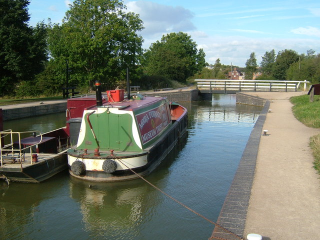
Sleeping The Moira Furnace trip boat, The Joseph Wilkes, is moored up at night alongside. Firefly in the middle of the canal in an attempt to stop local idiots messing about with it at night. Up ahead the swingbridge can be seen.
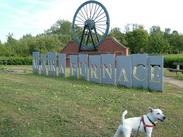
Pit cage from nearby Donisthorpe Colliery. This cage was a "spare" from the pit in the next village of Donisthorpe, and would accommodate 7 men per each of its 2 decks for the descent. Never used, it now stands in the shadow of Moira Furnace. It is quite sobering to stand inside it and imagine the cramped conditions endured by those of days past.


