Ranmore Common Circular Walk
![]()
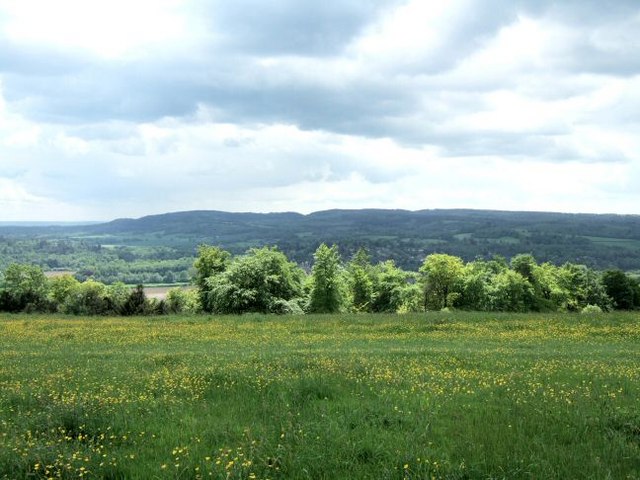
![]() This circular walk explores Ranmore Common in the North Downs, near Dorking. It is an excellent area for walking with miles of good footpaths taking you through woodland and open downland, with great views of the Surrey Hills.
This circular walk explores Ranmore Common in the North Downs, near Dorking. It is an excellent area for walking with miles of good footpaths taking you through woodland and open downland, with great views of the Surrey Hills.
The walk starts from the Denbies Hillside car park and follows the North Downs Way across grassy chalk downland where you will see various types of orchids growing in the summer months. You then pick up bridleways through the common where you will find sheltered woodland trails and some climbs with great viewpoints. The bridleways are also great for cyclists.
If you would like to continue your walking in the area then you could head east along the North Downs Way to the nearby Box Hill Country Park. Here you will find more great walking trails with panoramic views of the western Weald and a riverside path along the River Mole. Following the waymarked trail west will take you to Abinger Roughs with its lovely rhododendrons.
On the eastern edge of the common you will find the National Trust owned Denbies Hillside where there are waymarked trails with great views over the North Downs from the high points.
Just to the north you will find Polesden Lacey where there are miles of trails through the estate of this fine Edwardian house.
At Westhumble you can visit Norbury Park. There's woodland, chalk grassland and farmland to explore here.
Postcode
RH5 6SR - Please note: Postcode may be approximate for some rural locationsRanmore Common Ordnance Survey Map  - view and print off detailed OS map
Ranmore Common Open Street Map  - view and print off detailed map
*New* - Walks and Cycle Routes Near Me Map - Waymarked Routes and Mountain Bike Trails>>
Ranmore Common OS Map  - Mobile GPS OS Map with Location tracking
Ranmore Common Open Street Map  - Mobile GPS Map with Location tracking
Pubs/Cafes
One nice idea is to follow the Greensand Way south to visit the village of Westcott. Here you can visit the Prince of Wales pub for some post walk refreshments. The pub does good food and has a nice outdoor area for warmer weather. You can find the pub at postcode RH5 6SR for your sat navs.
A stroll around the village is also pleasant. If you head south you can visit Westcott Lake and an area of bluebell woodland around Bury Hill.
Dog Walking
The common is ideal for dog walking with miles of woodland trails to explore. You'll probably see plenty of other owners on your visit. The Prince of Wales mentioned above is also dog friendly.
Further Information and Other Local Ideas
Head a couple of miles north from the common and there's similar walking trails to be found on at the Bookham Commons. This National Trust owned area has miles footpaths taking you to grassland, ponds and ancient woodland. It's a particularly good area for wildlife with several species present at the site.
Just to the south there's the village of Betchworth where you can visit the ruined Betchworth Castle which sits next to the River Mole. There's also the adjacent village of Brockham where you can explore the Brockham Quarry Nature Reserve. The interesting site was once the site of chalk extraction and the lime making industry during the Victorian Era.
Box Hill and Westhumble train station is located just east of the common. The station is a good access point for the walk if you were coming by public transport. It's reachable from London Victoria via Sutton, London Waterloo via Wimbledon and Dorking. Westhumble also includes the noteworthy ruins of a 12th century chapel and the Stepping Stones public house.
For more walking ideas in the area see the Surrey Hills Walks and the North Downs Walks pages.
Cycle Routes and Walking Routes Nearby
Photos
Ranmore Common Bridleway. Leafy dry valley in thick deciduous woodland on top of the North Downs. The pathway is wide and usually firm underfoot because of the underlying flint.
St.Barnabas Church, next to the common. A magnificent-looking Grade II listed church serving a small community. In the mid 19th century the owner of the nearby Denbies Vineyard Estate, commissioned George Gilbert Scott to design St. Barnabas Church, which was completed in 1859.
Ranmore Common in Spring. Looking South towards Westcott and Leith Hill.


