Sabrina Way
203.2 miles (327 km)
![]()
![]() This route is part of the National Bridleroute Network and primarily designed for horse riders but can be used by walkers and cyclists also. The trail starts at the deer park at Great Barrington and heads north to Hartington. The route passes through the Cotswolds, the Malvern Hills, the Wyre Forest and Cannock Chase Forest, before finishing in the Derbyshire Peak District.
This route is part of the National Bridleroute Network and primarily designed for horse riders but can be used by walkers and cyclists also. The trail starts at the deer park at Great Barrington and heads north to Hartington. The route passes through the Cotswolds, the Malvern Hills, the Wyre Forest and Cannock Chase Forest, before finishing in the Derbyshire Peak District.
For cyclists a mountain bike or hybrid is advised.
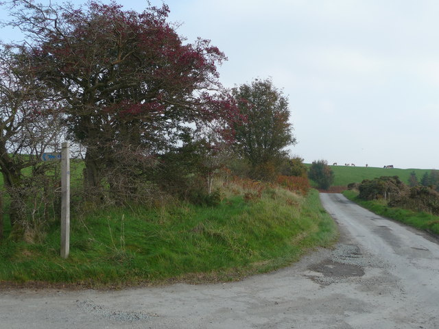
The route is waymarked with a blue arrow.
Sabrina Way Ordnance Survey Map  - view and print off detailed OS map
Sabrina Way Open Street Map  - view and print off detailed map
Sabrina Way OS Map  - Mobile GPS OS Map with Location tracking
Sabrina Way Open Street Map  - Mobile GPS Map with Location tracking
Cycle Routes and Walking Routes Nearby
Photos
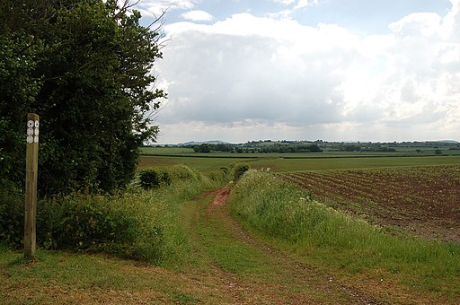
Beech Trees to Wickfields Farm. Looking north east from the Sabrina Way close to the hill fort banks and ditches with Langley Hill in the distance.
Finger post near Llanidloes


