Seaham to Hawthorn and Peterlee Coastal Walk
![]()
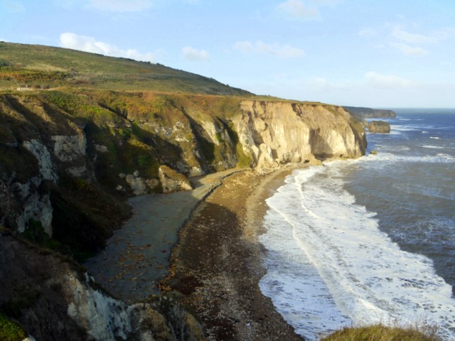
![]() The town of Seaham is located on the Durham Coast, just south of Sunderland. This walk follows a section of the Durham Coastal Footpath from the town to nearby Peterlee and the Castle Eden Dene Nature Reserve. It's about a 7 mile walk along a reasonably flat path with fine sea views for the duration of the route.
The town of Seaham is located on the Durham Coast, just south of Sunderland. This walk follows a section of the Durham Coastal Footpath from the town to nearby Peterlee and the Castle Eden Dene Nature Reserve. It's about a 7 mile walk along a reasonably flat path with fine sea views for the duration of the route.
The walk starts on the harbour in Seaham where you can pick up the waymarked footpath. Follow it south and it will take you past Chourdon Point, Shippersea Bay and the Easington Colliery. This section also passes Hawthorn Dene. You could take a detour from the route to visit the nature reserve which includes attractive woodland and the pretty Hawthorn Burn.
The next stage takes you past the waterfall at Fox Holes Dene before coming to Horden Point and Hartlepool Point, where the route finishes. If you head west from here you can visit the Castle Eden Dene Nature Reserve. Here you'll find woodland trails, pretty streams, rushing waterfalls and plenty of wildlife to look out for.
Seaham Ordnance Survey Map  - view and print off detailed OS map
Seaham Open Street Map  - view and print off detailed map
*New* - Walks and Cycle Routes Near Me Map - Waymarked Routes and Mountain Bike Trails>>
Seaham OS Map  - Mobile GPS OS Map with Location tracking
Seaham Open Street Map  - Mobile GPS Map with Location tracking
Further Information and Other Local Ideas
The Castle Eden Walkway can also be picked up near the end of the route. The shared cycling and walking trail provides another opportunity for exploring the area. You could also continue south along the coastal path all the way to Hartlepool.
Head a few miles west and there's Hetton Lyons Country Park to explore. There's a fine lakeside cycling and walking trail here with good facilities including watersports and a cafe.
On the western side of the reserve you can pick up National Cycle Route 14 and the Haswell to Hart Countryside Walkway. The multi-user trail uses the trackbed of a disused railway line to travel between the two old stations.
Cycle Routes and Walking Routes Nearby
Photos
'Wind and Fire', East Shore, Seaham. A sundial by the artist Craig Knowles created using blacksmith techniques, located as a centre piece in one of the main pedestrian arteries of the new East Shore Village housing development. It is hard to believe this land was once the Vane Tempest Colliery.
Terrace Green, Seaham. The bronze plaque in the foreground shows the plans drawn up for Seaham by the architect John Dobson for local developer Charles Stewart, the 3rd Marquess of Londonderry. Shortage of money after developing the harbour and railway connection meant that only a few of the elaborate buildings in this area of the town could actually be built.
Interpretive sculpture, Vane Tempest car park, Seaham. The sculpture by Michael Johnson has plaques representing the ground plans of Seaham Hall and the church of St Mary the Virgin. The church can be seen to the left of the prominent building, Greystones 1707617. The Hall lies to its left among trees. The plaques detail elements of local history including Seaham village which existed around the church as early as the C9th. Expansion of Seaham Hall and creation of Seaham Harbour to the south, in the C19th, led to its demise.


